Portland night lights from space
Night Light of Portland (Victoria) from space (Australia) Src. Average luminocity for 10x10km area is 14.119% and for 50x50km: 0.6121%.
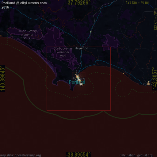
Analysis of Portland night lights 2016
Square area 10x10 km:
 1.36%
1.36%90-99
1.7%80-89
0.34%70-79
3.91%60-69
1.7%50-59
2.55%40-49
2.38%30-39
3.74%20-29
0%10-19
2.04%0-9
80.27%Square area 50x50 km:
0.05%90-99
0.07%80-89
0.01%70-79
0.15%60-69
0.07%50-59
0.1%40-49
0.09%30-39
0.19%20-29
0.01%10-19
0.13%0-9
99.12%Clear (daylight) street map image can be seen on geolist.org.
Map coordinates:
37° 47' 33.6" South, 140° 53' 58" East
38° 20' 46.3" South, 141° 36' 9.3" East
38° 53' 43.9" South, 142° 18' 20.5" East
Some cities around Portland sort by population:
• Warrnambool
77.3 km =48 mi,  92°
92°
• Mount Gambier
92 km =57.2 mi,  308°
308°
• Horsham
189.3 km =117.6 mi,  16°
16°
• Hamilton
76.3 km =47.4 mi,  28°
28°
• Colac
172.9 km =107.4 mi, 89°
• Ararat
165.7 km =103 mi,  44°
44°
• Stawell
177 km =110 mi, 35°
• Naracoorte
172.1 km =106.9 mi,  333°
333°
2152667 (p: 9,429)
Sources (retrieved 2019-11-25):
» Earth at Night: Flat Maps 2012, 2016