Stawell night lights from space
Night Light of Stawell (Victoria) from space (Australia) Src. Average luminocity for 10x10km area is 4.2568% and for 50x50km: 0.2364%.
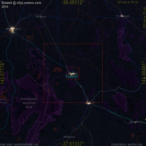
Analysis of Stawell night lights 2016
Square area 10x10 km:
 0%
0%90-99
0%80-89
0.51%70-79
0.85%60-69
0.68%50-59
0.68%40-49
2.55%30-39
0.51%20-29
2.21%10-19
0.17%0-9
91.84%Square area 50x50 km:
0%90-99
0%80-89
0.02%70-79
0.03%60-69
0.05%50-59
0.03%40-49
0.12%30-39
0.09%20-29
0.09%10-19
0.01%0-9
99.56%Clear (daylight) street map image can be seen on geolist.org.
Map coordinates:
36° 29' 35.2" South, 142° 4' 39.9" East
37° 3' 22.8" South, 142° 46' 51.2" East
37° 36' 55.3" South, 143° 29' 2.4" East
Some cities around Stawell sort by population:
• Horsham
64.4 km =40 mi,  306°
306°
• Wendouree
106.6 km =66.2 mi,  119°
119°
• Hamilton
101.7 km =63.2 mi,  221°
221°
• Alfredton
107.8 km =67 mi, 121°
• Ararat
28.6 km =17.8 mi,  153°
153°
• Maryborough
85.1 km =52.9 mi,  89°
89°
• Delacombe
108.9 km =67.7 mi, 122°
• Ballarat Central
110.1 km =68.4 mi, 120°
2148431 (p: 5,889)
Sources (retrieved 2019-11-25):
» Earth at Night: Flat Maps 2012, 2016