Colac night lights from space
Night Light of Colac (Victoria) from space (Australia) Src. Average luminocity for 10x10km area is 6.381% and for 50x50km: 0.2611%.
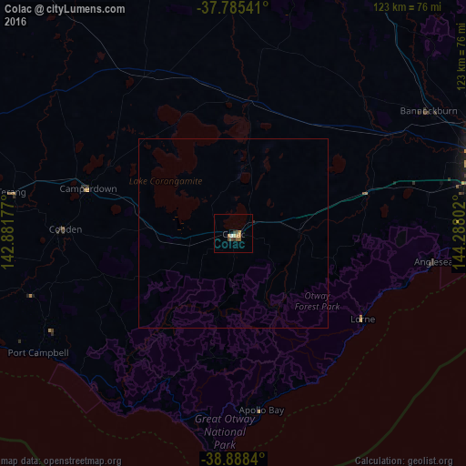
Analysis of Colac night lights 2016
Square area 10x10 km:
 0.34%
0.34%90-99
0.34%80-89
0.68%70-79
1.7%60-69
1.36%50-59
1.02%40-49
2.04%30-39
1.36%20-29
0%10-19
0%0-9
91.16%Square area 50x50 km:
0.01%90-99
0.01%80-89
0.03%70-79
0.07%60-69
0.05%50-59
0.04%40-49
0.08%30-39
0.05%20-29
0.03%10-19
0%0-9
99.63%Clear (daylight) street map image can be seen on geolist.org.
Map coordinates:
37° 47' 7.5" South, 142° 52' 54.4" East
38° 20' 20.4" South, 143° 35' 5.6" East
38° 53' 18.2" South, 144° 17' 16.9" East
Some cities around Colac sort by population:
• Highton
66.1 km =41.1 mi,  73°
73°
• Grovedale
68.6 km =42.6 mi,  76°
76°
• Belmont
68.6 km =42.6 mi, 74°
• Torquay
64.7 km =40.2 mi,  89°
89°
• Newtown
68.7 km =42.7 mi, 72°
• Hamlyn Heights
69.3 km =43.1 mi, 69°
• Bannockburn
60.4 km =37.5 mi,  57°
57°
• Waurn Ponds
62.5 km =38.8 mi, 77°
2171069 (p: 8,809)
Sources (retrieved 2019-11-25):
» Earth at Night: Flat Maps 2012, 2016