Ararat night lights from space
Night Light of Ararat (Victoria) from space (Australia) Src. Average luminocity for 10x10km area is 5.8061% and for 50x50km: 0.3398%.
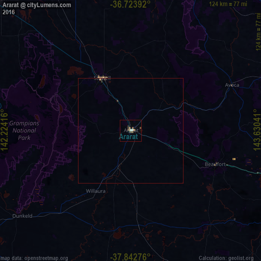
Analysis of Ararat night lights 2016
Square area 10x10 km:
 0.51%
0.51%90-99
0.85%80-89
0%70-79
0.68%60-69
1.87%50-59
0.17%40-49
2.04%30-39
2.55%20-29
0.17%10-19
0%0-9
91.16%Square area 50x50 km:
0.02%90-99
0.03%80-89
0.01%70-79
0.05%60-69
0.1%50-59
0.02%40-49
0.12%30-39
0.14%20-29
0.07%10-19
0%0-9
99.43%Clear (daylight) street map image can be seen on geolist.org.
Map coordinates:
36° 43' 26.1" South, 142° 13' 27" East
37° 17' 7.5" South, 142° 55' 38.2" East
37° 50' 33.9" South, 143° 37' 49.5" East
Some cities around Ararat sort by population:
• Ballarat
87.2 km =54.2 mi,  110°
110°
• Wendouree
84.1 km =52.3 mi, 108°
• Sebastopol
87.2 km =54.2 mi, 112°
• Alfredton
84.5 km =52.5 mi, 111°
• Maryborough
76.7 km =47.7 mi,  69°
69°
• Delacombe
85.3 km =53 mi, 113°
• Stawell
28.6 km =17.8 mi,  333°
333°
• Ballarat Central
87.2 km =54.2 mi, 110°
2177756 (p: 8,275)
Sources (retrieved 2019-11-25):
» Earth at Night: Flat Maps 2012, 2016