Warrnambool night lights from space
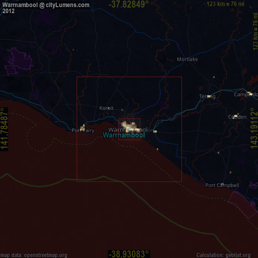
Night Light of Warrnambool (Victoria) from space (Australia) Src. Average luminocity for 10x10km area is 25.5085% and for 50x50km: 1.2635%.
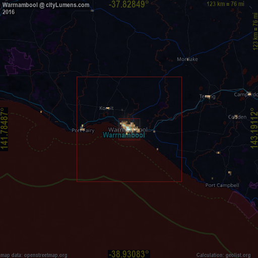
Analysis of Warrnambool night lights 2016
Square area 10x10 km:
 1.02%
1.02%90-99
2.21%80-89
2.04%70-79
4.42%60-69
9.18%50-59
6.12%40-49
2.89%30-39
3.06%20-29
2.55%10-19
18.37%0-9
48.13%Square area 50x50 km:
0.04%90-99
0.09%80-89
0.08%70-79
0.25%60-69
0.39%50-59
0.29%40-49
0.17%30-39
0.13%20-29
0.15%10-19
0.75%0-9
97.67%Clear (daylight) street map image can be seen on geolist.org.
Map coordinates:
37° 49' 42.6" South, 141° 47' 5.5" East
38° 22' 54.3" South, 142° 29' 16.8" East
38° 55' 51" South, 143° 11' 28" East
Some cities around Warrnambool sort by population:
• Sebastopol
147.9 km =91.9 mi,  53°
53°
• Hamilton
81.8 km =50.8 mi,  330°
330°
• Portland
77.3 km =48 mi,  272°
272°
• Alfredton
147.6 km =91.7 mi, 52°
• Colac
95.8 km =59.5 mi,  87°
87°
• Ararat
127.9 km =79.5 mi,  17°
17°
• Delacombe
145.9 km =90.7 mi, 52°
• Stawell
149.6 km =93 mi,  9°
9°
2144528 (p: 29,176)
Sources (retrieved 2019-11-25):
» Earth at Night: Flat Maps 2012, 2016