Hamilton night lights from space
Night Light of Hamilton (Victoria) from space (Australia) Src. Average luminocity for 10x10km area is 7.2738% and for 50x50km: 0.3148%.
Analysis of Hamilton night lights 2016
Square area 10x10 km:
 0.51%
0.51%90-99
0.17%80-89
0%70-79
3.4%60-69
1.02%50-59
1.87%40-49
1.19%30-39
0.68%20-29
2.04%10-19
0%0-9
89.12%Square area 50x50 km:
0.02%90-99
0.01%80-89
0%70-79
0.14%60-69
0.04%50-59
0.08%40-49
0.05%30-39
0.05%20-29
0.12%10-19
0%0-9
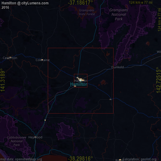
99.51%Clear (daylight) street map image can be seen on geolist.org.
Map coordinates:
37° 11' 10.2" South, 141° 19' 8" East
37° 44' 39.3" South, 142° 1' 19.3" East
38° 17' 53.4" South, 142° 43' 30.5" East
Some cities around Hamilton sort by population:
• Warrnambool
81.8 km =50.8 mi,  150°
150°
• Mount Gambier
109.6 km =68.1 mi,  264°
264°
• Horsham
115.9 km =72 mi,  7°
7°
• Portland
76.3 km =47.4 mi,  208°
208°
• Colac
152 km =94.4 mi,  115°
115°
• Ararat
94.7 km =58.8 mi,  57°
57°
• Stawell
101.7 km =63.2 mi,  41°
41°
• Naracoorte
143.2 km =89 mi,  307°
307°
2164025 (p: 9,720)
Sources (retrieved 2019-11-25):
» Earth at Night: Flat Maps 2012, 2016