Pakenham night lights from space
Night Light of Pakenham (Victoria) from space (Australia) Src. Average luminocity for 10x10km area is 29.901% and for 50x50km: 14.9495%.
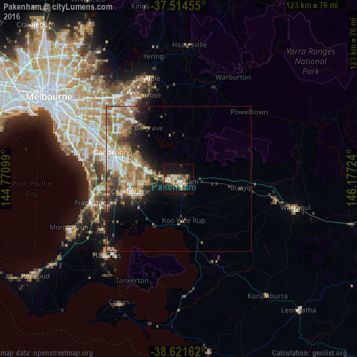
Analysis of Pakenham night lights 2016
Square area 10x10 km:
 3.57%
3.57%90-99
4.71%80-89
1.79%70-79
5.52%60-69
4.38%50-59
4.38%40-49
6.82%30-39
1.79%20-29
1.62%10-19
40.1%0-9
25.32%Square area 50x50 km:
2.29%90-99
2.52%80-89
1.16%70-79
2.5%60-69
3.61%50-59
2.87%40-49
1.79%30-39
1.93%20-29
2.63%10-19
6.51%0-9
72.2%Clear (daylight) street map image can be seen on geolist.org.
Map coordinates:
37° 30' 52.4" South, 144° 46' 15.6" East
38° 4' 12.6" South, 145° 28' 26.8" East
38° 37' 17.8" South, 146° 10' 38.1" East
Some cities around Pakenham sort by population:
• Berwick
11.6 km =7.2 mi,  290°
290°
• Narre Warren
15.8 km =9.8 mi, 285°
• Cranbourne North
15.4 km =9.6 mi,  266°
266°
• Cranbourne East
16.2 km =10.1 mi,  251°
251°
• Clyde North
13.4 km =8.3 mi, 247°
• Officer
5.8 km =3.6 mi,  282°
282°
• Beaconsfield
9.7 km =6 mi, 283°
• Emerald
15.7 km =9.8 mi,  349°
349°
2153953 (p: 45,895)
Sources (retrieved 2019-11-25):
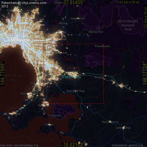
» Earth at Night: Flat Maps 2012, 2016