Clyde North night lights from space
Night Light of Clyde North (Victoria) from space (Australia) Src. Average luminocity for 10x10km area is 39.7078% and for 50x50km: 23.9536%.
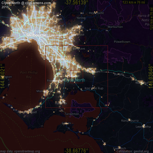
Analysis of Clyde North night lights 2016
Square area 10x10 km:
 5.84%
5.84%90-99
6.82%80-89
5.36%70-79
7.47%60-69
7.31%50-59
4.22%40-49
2.44%30-39
4.55%20-29
13.47%10-19
23.54%0-9
18.99%Square area 50x50 km:
3.9%90-99
4.45%80-89
2.17%70-79
4.49%60-69
4.35%50-59
4.09%40-49
3.07%30-39
3.12%20-29
4.19%10-19
10.11%0-9
56.05%Clear (daylight) street map image can be seen on geolist.org.
Map coordinates:
37° 33' 41" South, 144° 37' 48.8" East
38° 7' 0" South, 145° 19' 60" East
38° 40' 3.9" South, 146° 2' 11.3" East
Some cities around Clyde North sort by population:
• Berwick
9.4 km =5.8 mi,  8°
8°
• Narre Warren South
8.9 km =5.5 mi,  336°
336°
• Cranbourne North
5.3 km =3.3 mi,  325°
325°
• Cranbourne
4.4 km =2.7 mi,  274°
274°
• Cranbourne East
3.1 km =1.9 mi, 272°
• Cranbourne West
6.2 km =3.9 mi,  291°
291°
• Officer
9.2 km =5.7 mi,  46°
46°
• Beaconsfield
8 km =5 mi,  21°
21°
2171250 (p: 8,110)
Sources (retrieved 2019-11-25):
» Earth at Night: Flat Maps 2012, 2016