Northbridge night lights from space
Night Light of Northbridge (New South Wales) from space (Australia) Src. Average luminocity for 10x10km area is 73.1818% and for 50x50km: 39.2406%.
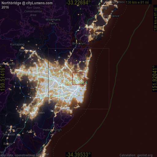
Analysis of Northbridge night lights 2016
Square area 10x10 km:
 11.71%
90-99
15.21%80-89
5.94%70-79
17.13%60-69
29.55%50-59
10.66%40-49
5.77%30-39
4.02%20-29
0%10-19
0%0-9
0%Square area 50x50 km:
9.32%90-99
10.02%80-89
4.91%70-79
6.5%60-69
7.51%50-59
3.29%40-49
2.14%30-39
3.25%20-29
4.42%10-19
6.95%0-9
41.7%Clear (daylight) street map image can be seen on geolist.org.
Map coordinates:
33° 13' 37" South, 150° 30' 51" East
33° 48' 47.3" South, 151° 13' 2.2" East
34° 23' 43.2" South, 151° 55' 13.5" East
Some cities around Northbridge sort by population:
• Cremorne
1.7 km =1.1 mi,  151°
151°
• Neutral Bay
2.7 km =1.7 mi,  179°
179°
• Artarmon
3.2 km =2 mi,  262°
262°
• Seaforth
2.5 km =1.6 mi,  58°
58°
• Cammeray
0.9 km =0.6 mi,  186°
186°
• Willoughby
1.9 km =1.2 mi,  298°
298°
• St Leonards
2.1 km =1.3 mi,  236°
236°
• Naremburn
1.6 km =1 mi,  254°
254°
2207830 (p: 6,183)
Sources (retrieved 2019-11-25):
» Earth at Night: Flat Maps 2012, 2016