Artarmon night lights from space
Night Light of Artarmon (New South Wales) from space (Australia) Src. Average luminocity for 10x10km area is 79.5087% and for 50x50km: 43.4984%.
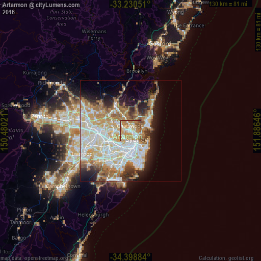
Analysis of Artarmon night lights 2016
Square area 10x10 km:
 13.81%
90-99
18.71%80-89
11.89%70-79
27.1%60-69
20.98%50-59
5.24%40-49
1.92%30-39
0.35%20-29
0%10-19
0%0-9
0%Square area 50x50 km:
10.69%90-99
11.51%80-89
5.56%70-79
6.75%60-69
7.76%50-59
3.63%40-49
2.3%30-39
3.44%20-29
4.81%10-19
7.61%0-9
35.94%Clear (daylight) street map image can be seen on geolist.org.
Map coordinates:
33° 13' 49.8" South, 150° 28' 48.8" East
33° 49' 0" South, 151° 10' 60" East
34° 23' 55.8" South, 151° 53' 11.3" East
Some cities around Artarmon sort by population:
• Chatswood
1.9 km =1.2 mi,  0°
0°
• Lane Cove North
2 km =1.2 mi,  308°
308°
• Lane Cove
1.5 km =0.9 mi,  274°
274°
• Wollstonecraft
1.9 km =1.2 mi,  161°
161°
• Willoughby
2 km =1.2 mi,  48°
48°
• St Leonards
1.6 km =1 mi,  118°
118°
• Greenwich
2.5 km =1.6 mi,  180°
180°
• Naremburn
1.6 km =1 mi,  91°
91°
2177626 (p: 9,392)
Sources (retrieved 2019-11-25):
» Earth at Night: Flat Maps 2012, 2016