Northam night lights from space
Night Light of Northam (Western Australia) from space (Australia) Src. Average luminocity for 10x10km area is 11.5806% and for 50x50km: 0.5663%.
Analysis of Northam night lights 2016
Square area 10x10 km:
 0%
0%90-99
2.75%80-89
0.92%70-79
1.47%60-69
1.28%50-59
1.65%40-49
3.48%30-39
3.85%20-29
0.73%10-19
0.73%0-9
83.15%Square area 50x50 km:
0%90-99
0.11%80-89
0.04%70-79
0.06%60-69
0.12%50-59
0.09%40-49
0.14%30-39
0.19%20-29
0.06%10-19
0.03%0-9
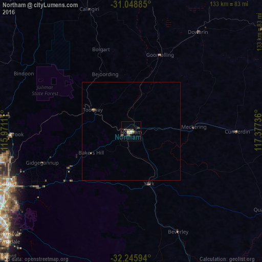
99.17%Clear (daylight) street map image can be seen on geolist.org.
Map coordinates:
31° 2' 55.9" South, 115° 58' 16" East
31° 38' 57.6" South, 116° 40' 27.2" East
32° 14' 45.4" South, 117° 22' 38.5" East
Some cities around Northam sort by population:
• Ellenbrook
68 km =42.3 mi,  258°
258°
• High Wycombe
71.4 km =44.4 mi,  242°
242°
• Aveley
66.4 km =41.3 mi, 257°
• Lesmurdie
71 km =44.1 mi, 236°
• Swan View
64.5 km =40.1 mi,  246°
246°
• Kalamunda
68.5 km =42.6 mi, 238°
• Midland
68.2 km =42.4 mi, 246°
• Bullsbrook
63.9 km =39.7 mi,  268°
268°
2064550 (p: 6,517)
Sources (retrieved 2019-11-25):
» Earth at Night: Flat Maps 2012, 2016