High Wycombe night lights from space
Night Light of High Wycombe (Western Australia) from space (Australia) Src. Average luminocity for 10x10km area is 74.2255% and for 50x50km: 41.4907%.
Analysis of High Wycombe night lights 2016
Square area 10x10 km:
 20.8%
20.8%90-99
18.53%80-89
3.5%70-79
12.24%60-69
16.43%50-59
12.06%40-49
7.87%30-39
6.82%20-29
1.75%10-19
0%0-9
0%Square area 50x50 km:
9.56%90-99
10.4%80-89
4.93%70-79
6.62%60-69
8.13%50-59
4.78%40-49
3.07%30-39
3.34%20-29
5%10-19
5.24%0-9
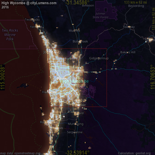
38.93%Clear (daylight) street map image can be seen on geolist.org.
Map coordinates:
31° 20' 45.1" South, 115° 18' 1" East
31° 56' 40" South, 116° 0' 12.2" East
32° 32' 20.9" South, 116° 42' 23.5" East
Some cities around High Wycombe sort by population:
• Forrestfield
4.3 km =2.7 mi,  175°
175°
• Bassendean
6.9 km =4.3 mi,  304°
304°
• Cloverdale
5.9 km =3.7 mi,  249°
249°
• Belmont
7.4 km =4.6 mi,  270°
270°
• Kewdale
6.2 km =3.9 mi,  231°
231°
• Kalamunda
6.1 km =3.8 mi,  122°
122°
• Midland
6.2 km =3.9 mi,  6°
6°
• Wattle Grove
6.9 km =4.3 mi, 182°
8349067 (p: 11,990)
Sources (retrieved 2019-11-25):
» Earth at Night: Flat Maps 2012, 2016