Swan View night lights from space
Night Light of Swan View (Western Australia) from space (Australia) Src. Average luminocity for 10x10km area is 44.9469% and for 50x50km: 31.9312%.
Analysis of Swan View night lights 2016
Square area 10x10 km:
 6.96%
6.96%90-99
9.34%80-89
0.92%70-79
1.83%60-69
19.05%50-59
8.97%40-49
4.21%30-39
5.49%20-29
10.26%10-19
18.86%0-9
14.1%Square area 50x50 km:
7.83%90-99
8.5%80-89
3.58%70-79
5.14%60-69
5.17%50-59
3.35%40-49
2.08%30-39
2.75%20-29
3.25%10-19
5.07%0-9
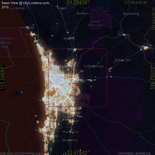
53.28%Clear (daylight) street map image can be seen on geolist.org.
Map coordinates:
31° 17' 3.7" South, 115° 20' 48.8" East
31° 52' 60" South, 116° 3' 0" East
32° 28' 42.3" South, 116° 45' 11.3" East
Some cities around Swan View sort by population:
• Forrestfield
11.8 km =7.3 mi,  200°
200°
• High Wycombe
8.1 km =5 mi,  212°
212°
• Bassendean
10.4 km =6.5 mi,  254°
254°
• Beechboro
10.9 km =6.8 mi,  280°
280°
• Kalamunda
10.1 km =6.3 mi,  175°
175°
• Midland
3.8 km =2.4 mi,  260°
260°
• Bennett Springs
10.3 km =6.4 mi,  285°
285°
• Caversham
7.9 km =4.9 mi,  270°
270°
2060771 (p: 7,735)
Sources (retrieved 2019-11-25):
» Earth at Night: Flat Maps 2012, 2016