Bullsbrook night lights from space
Night Light of Bullsbrook (Western Australia) from space (Australia) Src. Average luminocity for 10x10km area is 5.3297% and for 50x50km: 14.7962%.
Analysis of Bullsbrook night lights 2016
Square area 10x10 km:
 0.37%
0.37%90-99
0.37%80-89
0%70-79
0%60-69
1.47%50-59
2.93%40-49
0.73%30-39
1.83%20-29
0%10-19
0.37%0-9
91.94%Square area 50x50 km:
2.61%90-99
3.01%80-89
1.47%70-79
2.16%60-69
3.35%50-59
2.01%40-49
1.39%30-39
2.36%20-29
2.89%10-19
4.15%0-9
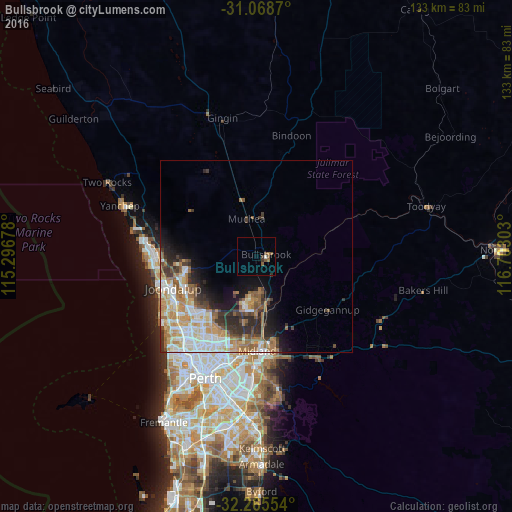
74.6%Clear (daylight) street map image can be seen on geolist.org.
Map coordinates:
31° 4' 7.3" South, 115° 17' 48.4" East
31° 40' 8.6" South, 115° 59' 59.6" East
32° 15' 55.9" South, 116° 42' 10.9" East
Some cities around Bullsbrook sort by population:
• Ellenbrook
11.3 km =7 mi,  194°
194°
• Ballajura
21.5 km =13.4 mi,  207°
207°
• Landsdale
19.9 km =12.4 mi,  219°
219°
• Wanneroo
20.9 km =13 mi,  244°
244°
• Aveley
12.5 km =7.8 mi,  184°
184°
• Tapping
20.1 km =12.5 mi,  253°
253°
• Banksia Grove
18.7 km =11.6 mi,  260°
260°
• Hocking
20.5 km =12.7 mi, 236°
2075462 (p: 5,102)
Sources (retrieved 2019-11-25):
» Earth at Night: Flat Maps 2012, 2016