North Haven night lights from space
Night Light of North Haven (South Australia) from space (Australia) Src. Average luminocity for 10x10km area is 37.0604% and for 50x50km: 24.9511%.
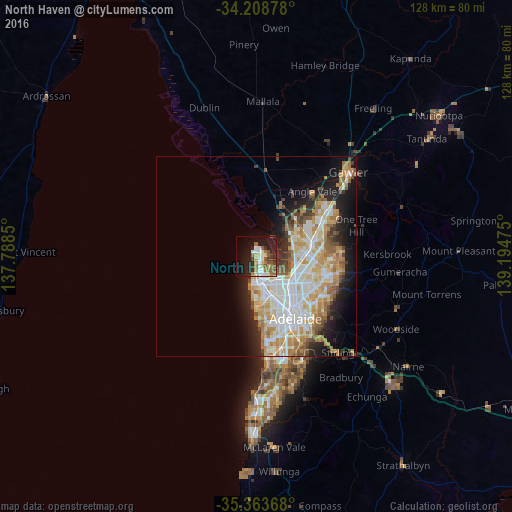
Analysis of North Haven night lights 2016
Square area 10x10 km:
 5.31%
5.31%90-99
7.14%80-89
3.11%70-79
4.21%60-69
6.96%50-59
8.06%40-49
3.11%30-39
3.11%20-29
12.09%10-19
27.11%0-9
19.78%Square area 50x50 km:
5.57%90-99
5.96%80-89
2.78%70-79
4.69%60-69
3.55%50-59
2.67%40-49
1.76%30-39
1.84%20-29
4.24%10-19
8.08%0-9
58.86%Clear (daylight) street map image can be seen on geolist.org.
Map coordinates:
34° 12' 31.6" South, 137° 47' 18.6" East
34° 47' 17.7" South, 138° 29' 29.8" East
35° 21' 49.2" South, 139° 11' 41.1" East
Some cities around North Haven sort by population:
• Parafield Gardens
10.9 km =6.8 mi,  86°
86°
• Paralowie
11.2 km =7 mi,  71°
71°
• Mawson Lakes
11.1 km =6.9 mi,  106°
106°
• Burton
11.8 km =7.3 mi,  58°
58°
• Salisbury Downs
12.1 km =7.5 mi,  79°
79°
• West Lakes
9.4 km =5.8 mi,  178°
178°
• Kilburn
11.7 km =7.3 mi,  132°
132°
• Enfield
12.4 km =7.7 mi, 125°
8348382 (p: 5,457)
Sources (retrieved 2019-11-25):
» Earth at Night: Flat Maps 2012, 2016