Mawson Lakes night lights from space
Night Light of Mawson Lakes (South Australia) from space (Australia) Src. Average luminocity for 10x10km area is 83.3645% and for 50x50km: 26.3101%.
Analysis of Mawson Lakes night lights 2016
Square area 10x10 km:
 29.85%
90-99
30.77%80-89
8.42%70-79
7.69%60-69
4.03%50-59
6.78%40-49
4.21%30-39
6.59%20-29
1.65%10-19
0%0-9
0%Square area 50x50 km:
5.76%90-99
6.13%80-89
2.85%70-79
4.84%60-69
3.81%50-59
3.02%40-49
2.06%30-39
2%20-29
4.53%10-19
8.56%0-9
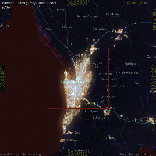
56.43%Clear (daylight) street map image can be seen on geolist.org.
Map coordinates:
34° 14' 11.8" South, 137° 54' 17.9" East
34° 48' 57.2" South, 138° 36' 29.1" East
35° 23' 28" South, 139° 18' 40.4" East
Some cities around Mawson Lakes sort by population:
• Parafield Gardens
3.7 km =2.3 mi,  3°
3°
• Salisbury East
5.1 km =3.2 mi,  56°
56°
• Ingle Farm
3 km =1.9 mi,  130°
130°
• Pooraka
1.9 km =1.2 mi,  120°
120°
• Para Hills
4.6 km =2.9 mi,  84°
84°
• Northgate
5 km =3.1 mi,  157°
157°
• Kilburn
5.3 km =3.3 mi,  202°
202°
• Enfield
4.1 km =2.5 mi,  187°
187°
8349323 (p: 13,220)
Sources (retrieved 2019-11-25):
» Earth at Night: Flat Maps 2012, 2016