Noble Park night lights from space
Night Light of Noble Park (Victoria) from space (Australia) Src. Average luminocity for 10x10km area is 86.4091% and for 50x50km: 43.935%.
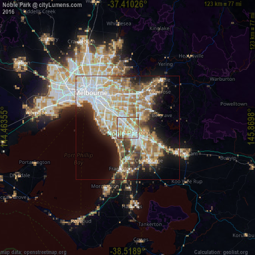
Analysis of Noble Park night lights 2016
Square area 10x10 km:
 25%
25%90-99
28.25%80-89
10.88%70-79
20.78%60-69
11.69%50-59
3.08%40-49
0.32%30-39
0%20-29
0%10-19
0%0-9
0%Square area 50x50 km:
10.82%90-99
9.74%80-89
4.83%70-79
7.37%60-69
7.14%50-59
5.94%40-49
3.91%30-39
3.81%20-29
5.62%10-19
9.46%0-9
31.35%Clear (daylight) street map image can be seen on geolist.org.
Map coordinates:
37° 24' 36.9" South, 144° 27' 48.8" East
37° 58' 0" South, 145° 10' 0" East
38° 31' 8" South, 145° 52' 11.3" East
Some cities around Noble Park sort by population:
• Dandenong
3.5 km =2.2 mi,  122°
122°
• Keysborough
2.8 km =1.7 mi,  166°
166°
• Dandenong North
3.6 km =2.2 mi,  89°
89°
• Springvale
2.4 km =1.5 mi,  328°
328°
• Mulgrave
4.3 km =2.7 mi,  12°
12°
• Springvale South
1.5 km =0.9 mi,  270°
270°
• Clayton South
5.7 km =3.5 mi,  310°
310°
• Dingley Village
3.4 km =2.1 mi,  237°
237°
2155204 (p: 30,921)
Sources (retrieved 2019-11-25):
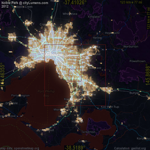
» Earth at Night: Flat Maps 2012, 2016