Mount Barker night lights from space
Night Light of Mount Barker (South Australia) from space (Australia) Src. Average luminocity for 10x10km area is 13.6469% and for 50x50km: 7.9166%.
Analysis of Mount Barker night lights 2016
Square area 10x10 km:
 0.35%
0.35%90-99
0.35%80-89
0.7%70-79
1.22%60-69
3.67%50-59
4.72%40-49
3.32%30-39
5.42%20-29
1.22%10-19
0.87%0-9
78.15%Square area 50x50 km:
1.37%90-99
1.4%80-89
0.79%70-79
1.27%60-69
1.58%50-59
1.34%40-49
1.12%30-39
0.81%20-29
1.15%10-19
2.66%0-9
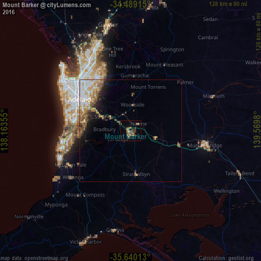
86.52%Clear (daylight) street map image can be seen on geolist.org.
Map coordinates:
34° 29' 20.9" South, 138° 9' 48.8" East
35° 4' 0" South, 138° 52' 0" East
35° 38' 24.5" South, 139° 34' 11.3" East
Some cities around Mount Barker sort by population:
• Adelaide Hills
22.6 km =14 mi,  319°
319°
• Aberfoyle Park
25.1 km =15.6 mi,  267°
267°
• Flagstaff Hill
25.9 km =16.1 mi, 274°
• Athelstone
26.6 km =16.5 mi,  325°
325°
• Magill
24.7 km =15.3 mi, 315°
• Rostrevor
25 km =15.5 mi, 320°
• Strathalbyn
21.6 km =13.4 mi,  173°
173°
• Norwood
26.7 km =16.6 mi,  305°
305°
2065665 (p: 13,583)
Sources (retrieved 2019-11-25):
» Earth at Night: Flat Maps 2012, 2016