Strathalbyn night lights from space
Night Light of Strathalbyn (South Australia) from space (Australia) Src. Average luminocity for 10x10km area is 1.8077% and for 50x50km: 0.9867%.
Analysis of Strathalbyn night lights 2016
Square area 10x10 km:
 0%
0%90-99
0%80-89
0%70-79
0.52%60-69
0.17%50-59
1.4%40-49
0.7%30-39
0%20-29
0%10-19
0.7%0-9
96.5%Square area 50x50 km:
0.01%90-99
0.03%80-89
0.04%70-79
0.1%60-69
0.27%50-59
0.25%40-49
0.27%30-39
0.3%20-29
0.1%10-19
0.54%0-9
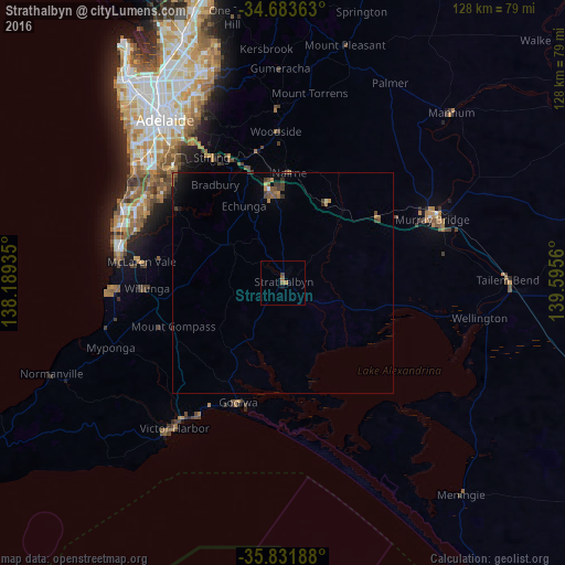
98.09%Clear (daylight) street map image can be seen on geolist.org.
Map coordinates:
34° 41' 1.1" South, 138° 11' 21.7" East
35° 15' 35.2" South, 138° 53' 32.9" East
35° 49' 54.8" South, 139° 35' 44.2" East
Some cities around Strathalbyn sort by population:
• Morphett Vale
36.9 km =22.9 mi,  292°
292°
• Murray Bridge
38 km =23.6 mi,  65°
65°
• Mount Barker
21.6 km =13.4 mi,  353°
353°
• Happy Valley
38.1 km =23.7 mi,  301°
301°
• Woodcroft
34.7 km =21.6 mi, 300°
• Aberfoyle Park
34.1 km =21.2 mi,  306°
306°
• Flagstaff Hill
36.7 km =22.8 mi, 309°
• Seaford Rise
38 km =23.6 mi,  281°
281°
2060951 (p: 6,348)
Sources (retrieved 2019-11-25):
» Earth at Night: Flat Maps 2012, 2016