Adelaide Hills night lights from space
Night Light of Adelaide Hills (South Australia) from space (Australia) Src. Average luminocity for 10x10km area is 31.3132% and for 50x50km: 27.5052%.
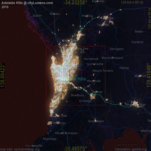
Analysis of Adelaide Hills night lights 2016
Square area 10x10 km:
 0.92%
0.92%90-99
2.93%80-89
3.85%70-79
5.68%60-69
8.97%50-59
8.97%40-49
5.86%30-39
1.47%20-29
11.54%10-19
17.95%0-9
31.87%Square area 50x50 km:
5.82%90-99
6.08%80-89
2.77%70-79
4.98%60-69
4.35%50-59
3.74%40-49
2.78%30-39
2.42%20-29
4.44%10-19
7.95%0-9
54.67%Clear (daylight) street map image can be seen on geolist.org.
Map coordinates:
34° 19' 57.3" South, 138° 0' 15.2" East
34° 54' 40.3" South, 138° 42' 26.5" East
35° 29' 8.7" South, 139° 24' 37.7" East
Some cities around Adelaide Hills sort by population:
• Athelstone
4.6 km =2.9 mi,  351°
351°
• Magill
3 km =1.9 mi,  274°
274°
• Campbelltown
4.8 km =3 mi,  309°
309°
• Rostrevor
2.4 km =1.5 mi,  323°
323°
• Paradise
5.5 km =3.4 mi, 320°
• Highbury
6.5 km =4 mi, 352°
• Klemzig
7.4 km =4.6 mi,  298°
298°
• Norwood
7.4 km =4.6 mi,  256°
256°
7302628 (p: 60,394)
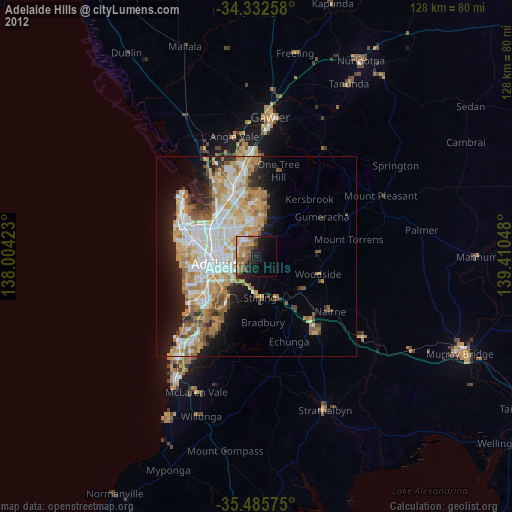
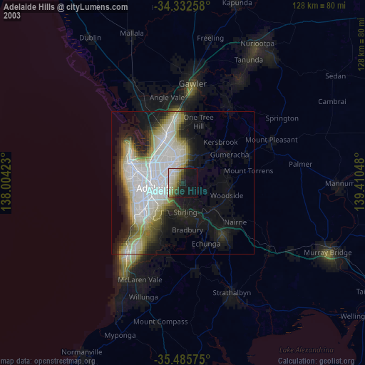
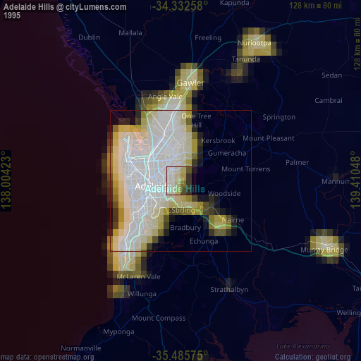
Sources (retrieved 2019-11-25):
» NASA, Earths city lights 1995
» NASA city lights 2003
» Earth at Night: Flat Maps 2012, 2016