Aberfoyle Park night lights from space
Night Light of Aberfoyle Park (South Australia) from space (Australia) Src. Average luminocity for 10x10km area is 38.8024% and for 50x50km: 18.3203%.
Analysis of Aberfoyle Park night lights 2016
Square area 10x10 km:
 1.22%
1.22%90-99
0.87%80-89
0.7%70-79
7.52%60-69
12.76%50-59
14.34%40-49
15.91%30-39
6.99%20-29
5.07%10-19
20.8%0-9
13.81%Square area 50x50 km:
3.65%90-99
3.61%80-89
1.6%70-79
3.22%60-69
3.36%50-59
2.71%40-49
2.08%30-39
1.39%20-29
3.16%10-19
6.89%0-9
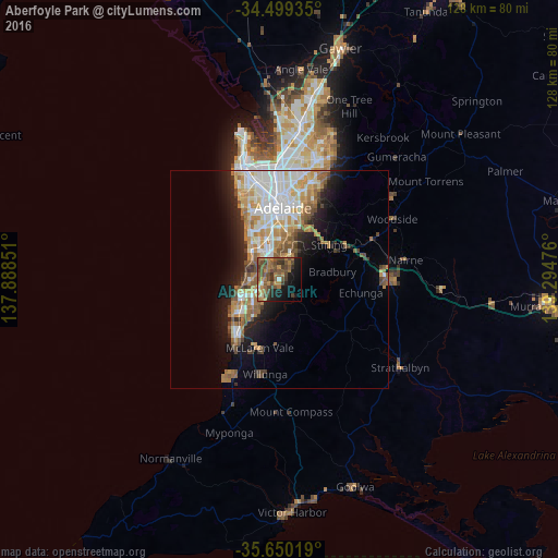
68.34%Clear (daylight) street map image can be seen on geolist.org.
Map coordinates:
34° 29' 57.7" South, 137° 53' 18.6" East
35° 4' 36.5" South, 138° 35' 29.9" East
35° 39' 0.7" South, 139° 17' 41.1" East
Some cities around Aberfoyle Park sort by population:
• Morphett Vale
9.3 km =5.8 mi,  227°
227°
• Hallett Cove
7 km =4.3 mi,  267°
267°
• Happy Valley
5.4 km =3.4 mi,  262°
262°
• Woodcroft
3.9 km =2.4 mi,  222°
222°
• Flagstaff Hill
3.2 km =2 mi,  345°
345°
• Sheidow Park
5.9 km =3.7 mi, 267°
• Mitchell Park
7.8 km =4.8 mi,  340°
340°
• Warradale
10.4 km =6.5 mi,  328°
328°
9973147 (p: 10,795)
Sources (retrieved 2019-11-25):
» Earth at Night: Flat Maps 2012, 2016