Magill night lights from space
Night Light of Magill (South Australia) from space (Australia) Src. Average luminocity for 10x10km area is 58.6557% and for 50x50km: 27.574%.
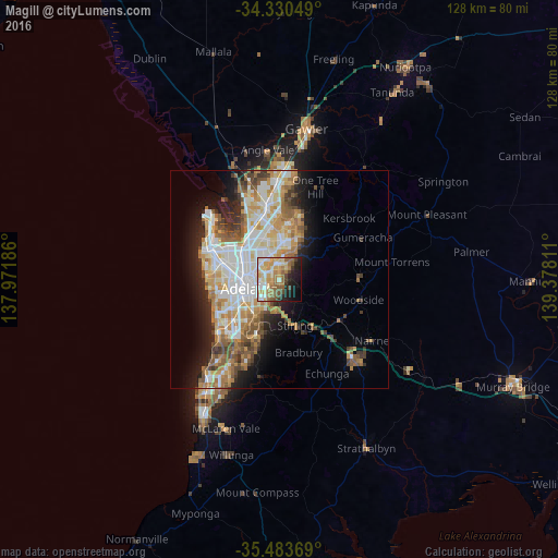
Analysis of Magill night lights 2016
Square area 10x10 km:
 8.24%
8.24%90-99
11.9%80-89
11.36%70-79
12.27%60-69
10.81%50-59
9.71%40-49
5.68%30-39
1.65%20-29
10.99%10-19
13.19%0-9
4.21%Square area 50x50 km:
5.81%90-99
6.12%80-89
2.77%70-79
5%60-69
4.35%50-59
3.73%40-49
2.77%30-39
2.42%20-29
4.47%10-19
7.96%0-9
54.6%Clear (daylight) street map image can be seen on geolist.org.
Map coordinates:
34° 19' 49.8" South, 137° 58' 18.7" East
34° 54' 32.8" South, 138° 40' 29.9" East
35° 29' 1.3" South, 139° 22' 41.2" East
Some cities around Magill sort by population:
• Adelaide Hills
3 km =1.9 mi,  94°
94°
• Athelstone
4.9 km =3 mi,  27°
27°
• Campbelltown
3 km =1.9 mi,  345°
345°
• Rostrevor
2.3 km =1.4 mi,  42°
42°
• Paradise
4 km =2.5 mi, 352°
• Klemzig
4.9 km =3 mi,  312°
312°
• Norwood
4.7 km =2.9 mi,  244°
244°
• Windsor Gardens
5.5 km =3.4 mi,  332°
332°
8348077 (p: 8,690)
Sources (retrieved 2019-11-25):
» Earth at Night: Flat Maps 2012, 2016