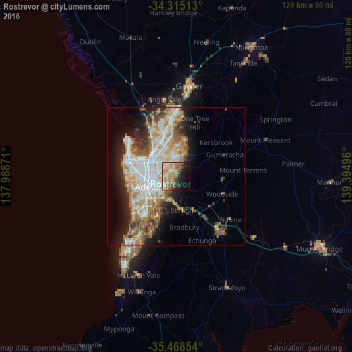
Rostrevor night lights from space
Night Light of Rostrevor (South Australia) from space (Australia) Src. Average luminocity for 10x10km area is 50.3462% and for 50x50km: 27.8951%.
Analysis of Rostrevor night lights 2016
Square area 10x10 km:
 4.76%
4.76%90-99
8.79%80-89
8.79%70-79
11.36%60-69
12.45%50-59
8.97%40-49
5.31%30-39
1.65%20-29
10.44%10-19
16.67%0-9
10.81%Square area 50x50 km:
5.92%90-99
6.22%80-89
2.84%70-79
5.05%60-69
4.23%50-59
3.75%40-49
2.81%30-39
2.56%20-29
4.56%10-19
7.99%0-9
54.07%Clear (daylight) street map image can be seen on geolist.org.
Map coordinates:
34° 18' 54.5" South, 137° 59' 19.4" East
34° 53' 37.9" South, 138° 41' 30.6" East
35° 28' 6.7" South, 139° 23' 41.9" East
Some cities around Rostrevor sort by population:
• Adelaide Hills
2.4 km =1.5 mi,  143°
143°
• Athelstone
2.7 km =1.7 mi,  15°
15°
• Magill
2.3 km =1.4 mi,  222°
222°
• Campbelltown
2.6 km =1.6 mi,  297°
297°
• Paradise
3.1 km =1.9 mi,  317°
317°
• Highbury
4.6 km =2.9 mi,  6°
6°
• Klemzig
5.4 km =3.4 mi,  287°
287°
• Windsor Gardens
5.2 km =3.2 mi,  307°
307°
8348263 (p: 7,649)
Sources (retrieved 2019-11-25):
» Earth at Night: Flat Maps 2012, 2016