Mosman night lights from space
Night Light of Mosman (New South Wales) from space (Australia) Src. Average luminocity for 10x10km area is 72.2535% and for 50x50km: 37.4538%.
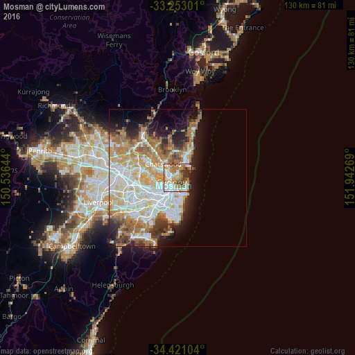
Analysis of Mosman night lights 2016
Square area 10x10 km:
 18.01%
90-99
18.01%80-89
5.07%70-79
13.11%60-69
17.66%50-59
8.22%40-49
6.47%30-39
7.34%20-29
5.94%10-19
0.17%0-9
0%Square area 50x50 km:
8.73%90-99
9.18%80-89
4.48%70-79
6.02%60-69
7.63%50-59
3.47%40-49
2.3%30-39
3.48%20-29
4.49%10-19
7.03%0-9
43.18%Clear (daylight) street map image can be seen on geolist.org.
Map coordinates:
33° 15' 10.8" South, 150° 32' 11.2" East
33° 50' 20.5" South, 151° 14' 22.4" East
34° 25' 15.7" South, 151° 56' 33.7" East
Some cities around Mosman sort by population:
• Potts Point
3.4 km =2.1 mi,  202°
202°
• Cremorne
1.8 km =1.1 mi,  318°
318°
• Neutral Bay
2 km =1.2 mi,  273°
273°
• Vaucluse
4 km =2.5 mi,  117°
117°
• North Sydney
3 km =1.9 mi, 270°
• Cammeray
2.9 km =1.8 mi,  312°
312°
• Northbridge
3.5 km =2.2 mi, 324°
• Elizabeth Bay
3.8 km =2.4 mi, 197°
2156813 (p: 27,844)
Sources (retrieved 2019-11-25):
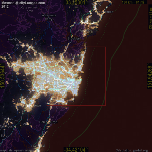
» Earth at Night: Flat Maps 2012, 2016