Moree night lights from space
Night Light of Moree (New South Wales) from space (Australia) Src. Average luminocity for 10x10km area is 17.4186% and for 50x50km: 0.7452%.
Analysis of Moree night lights 2016
Square area 10x10 km:
 2.46%
2.46%90-99
1.52%80-89
0.95%70-79
4.55%60-69
2.65%50-59
0.95%40-49
3.79%30-39
4.36%20-29
0%10-19
2.27%0-9
76.52%Square area 50x50 km:
0.1%90-99
0.06%80-89
0.04%70-79
0.18%60-69
0.1%50-59
0.04%40-49
0.18%30-39
0.17%20-29
0%10-19
0.09%0-9
99.04%Clear (daylight) street map image can be seen on geolist.org.
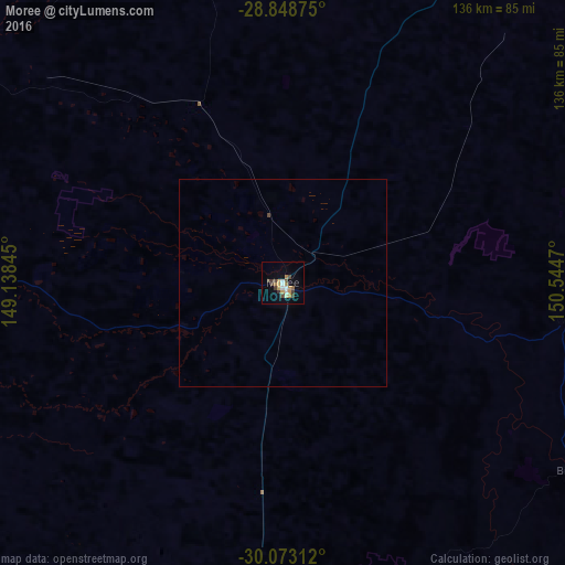
Map coordinates:
28° 50' 55.5" South, 149° 8' 18.4" East
29° 27' 46" South, 149° 50' 29.7" East
30° 4' 23.2" South, 150° 32' 40.9" East
Some cities around Moree sort by population:
• Tamworth
208.9 km =129.8 mi,  150°
150°
• Inverell
127.6 km =79.3 mi,  105°
105°
• Gunnedah
173.5 km =107.8 mi,  166°
166°
• Narrabri
96 km =59.7 mi,  183°
183°
• Goondiwindi
111.4 km =69.2 mi,  23°
23°
• Glen Innes
185.9 km =115.5 mi,  99°
99°
• North Tamworth
207.5 km =128.9 mi, 149°
• East Tamworth
208.9 km =129.8 mi, 149°
2156927 (p: 9,779)
Sources (retrieved 2019-11-25):
» Earth at Night: Flat Maps 2012, 2016