Tamworth night lights from space
Night Light of Tamworth (New South Wales) from space (Australia) Src. Average luminocity for 10x10km area is 32.5623% and for 50x50km: 1.7523%.
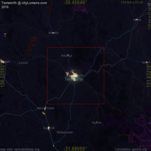
Analysis of Tamworth night lights 2016
Square area 10x10 km:
 3.66%
3.66%90-99
2.75%80-89
5.31%70-79
7.69%60-69
6.78%50-59
2.93%40-49
2.2%30-39
6.41%20-29
4.58%10-19
31.87%0-9
25.82%Square area 50x50 km:
0.17%90-99
0.12%80-89
0.22%70-79
0.47%60-69
0.29%50-59
0.12%40-49
0.12%30-39
0.3%20-29
0.24%10-19
1.77%0-9
96.17%Clear (daylight) street map image can be seen on geolist.org.
Map coordinates:
30° 29' 11.3" South, 150° 13' 33.3" East
31° 5' 25.7" South, 150° 55' 44.6" East
31° 41' 26.5" South, 151° 37' 55.8" East
Some cities around Tamworth sort by population:
• Armidale
96.1 km =59.7 mi,  47°
47°
• Gunnedah
65.1 km =40.5 mi,  280°
280°
• South Tamworth
2.3 km =1.4 mi,  195°
195°
• Hillvue
4.6 km =2.9 mi,  206°
206°
• Scone
106.9 km =66.4 mi,  183°
183°
• North Tamworth
1.5 km =0.9 mi,  333°
333°
• East Tamworth
1 km =0.6 mi, 54°
• West Tamworth
1.9 km =1.2 mi,  226°
226°
2147497 (p: 47,597)
Sources (retrieved 2019-11-25):
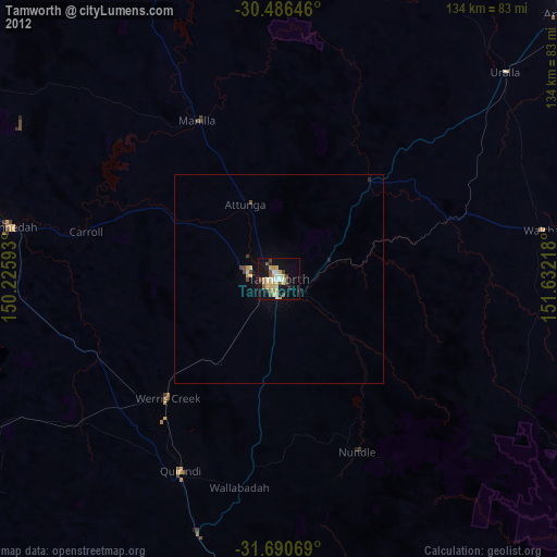
» Earth at Night: Flat Maps 2012, 2016