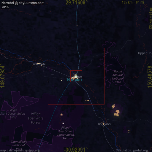
Narrabri night lights from space
Night Light of Narrabri (New South Wales) from space (Australia) Src. Average luminocity for 10x10km area is 12.967% and for 50x50km: 0.6419%.
Analysis of Narrabri night lights 2016
Square area 10x10 km:
 0.37%
0.37%90-99
0.37%80-89
0.92%70-79
6.41%60-69
2.38%50-59
2.01%40-49
0.73%30-39
1.47%20-29
1.47%10-19
1.83%0-9
82.05%Square area 50x50 km:
0.01%90-99
0.01%80-89
0.07%70-79
0.29%60-69
0.13%50-59
0.11%40-49
0.03%30-39
0.06%20-29
0.06%10-19
0.07%0-9
99.15%Clear (daylight) street map image can be seen on geolist.org.
Map coordinates:
29° 42' 57.9" South, 149° 4' 46.3" East
30° 19' 29.6" South, 149° 46' 57.6" East
30° 55' 47.7" South, 150° 29' 8.8" East
Some cities around Narrabri sort by population:
• Tamworth
138.8 km =86.2 mi,  127°
127°
• Moree
96 km =59.7 mi,  3°
3°
• Gunnedah
85.9 km =53.4 mi,  148°
148°
• South Tamworth
139.6 km =86.7 mi, 128°
• Hillvue
139.7 km =86.8 mi, 129°
• North Tamworth
137.4 km =85.4 mi, 127°
• East Tamworth
139 km =86.4 mi, 127°
• West Tamworth
138.5 km =86.1 mi, 128°
2155742 (p: 7,866)
Sources (retrieved 2019-11-25):
» Earth at Night: Flat Maps 2012, 2016