East Tamworth night lights from space
Night Light of East Tamworth (New South Wales) from space (Australia) Src. Average luminocity for 10x10km area is 31.0128% and for 50x50km: 1.7523%.
Analysis of East Tamworth night lights 2016
Square area 10x10 km:
 3.66%
3.66%90-99
2.75%80-89
5.31%70-79
7.33%60-69
6.41%50-59
2.93%40-49
1.83%30-39
6.04%20-29
3.85%10-19
25.82%0-9
34.07%Square area 50x50 km:
0.17%90-99
0.12%80-89
0.22%70-79
0.47%60-69
0.29%50-59
0.12%40-49
0.12%30-39
0.3%20-29
0.24%10-19
1.77%0-9
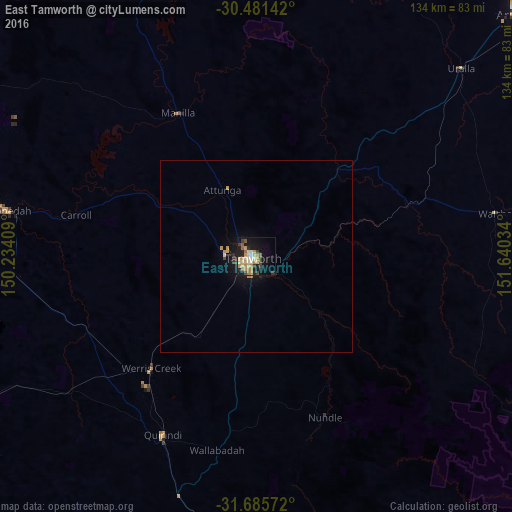
96.17%Clear (daylight) street map image can be seen on geolist.org.
Map coordinates:
30° 28' 53.1" South, 150° 14' 2.7" East
31° 5' 7.7" South, 150° 56' 14" East
31° 41' 8.6" South, 151° 38' 25.2" East
Some cities around East Tamworth sort by population:
• Tamworth
1 km =0.6 mi,  234°
234°
• Armidale
95.2 km =59.2 mi,  46°
46°
• Gunnedah
65.7 km =40.8 mi,  280°
280°
• South Tamworth
3.1 km =1.9 mi,  207°
207°
• Hillvue
5.5 km =3.4 mi, 211°
• Scone
107.5 km =66.8 mi,  183°
183°
• North Tamworth
1.6 km =1 mi,  298°
298°
• West Tamworth
2.9 km =1.8 mi, 229°
10114336 (p: 5,273)
Sources (retrieved 2019-11-25):
» Earth at Night: Flat Maps 2012, 2016