Inverell night lights from space
Night Light of Inverell (New South Wales) from space (Australia) Src. Average luminocity for 10x10km area is 9.9821% and for 50x50km: 0.4388%.
Analysis of Inverell night lights 2016
Square area 10x10 km:
 0.6%
0.6%90-99
1.19%80-89
0.6%70-79
3.57%60-69
2.78%50-59
0%40-49
0.2%30-39
1.39%20-29
2.38%10-19
1.19%0-9
86.11%Square area 50x50 km:
0.02%90-99
0.05%80-89
0.02%70-79
0.14%60-69
0.14%50-59
0%40-49
0.01%30-39
0.11%20-29
0.09%10-19
0.05%0-9
99.38%Clear (daylight) street map image can be seen on geolist.org.
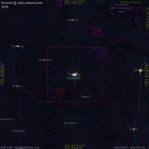
Map coordinates:
29° 9' 42.7" South, 150° 24' 30.7" East
29° 46' 26.5" South, 151° 6' 42" East
30° 22' 56.9" South, 151° 48' 53.2" East
Some cities around Inverell sort by population:
• Tamworth
147.4 km =91.6 mi,  186°
186°
• Armidale
96.8 km =60.1 mi,  146°
146°
• Moree
127.6 km =79.3 mi,  285°
285°
• Narrabri
141.8 km =88.1 mi,  244°
244°
• Glen Innes
60.7 km =37.7 mi,  85°
85°
• Stanthorpe
147.9 km =91.9 mi,  32°
32°
• North Tamworth
146.2 km =90.8 mi, 187°
• East Tamworth
146.8 km =91.2 mi, 186°
2162662 (p: 11,609)
Sources (retrieved 2019-11-25):
» Earth at Night: Flat Maps 2012, 2016