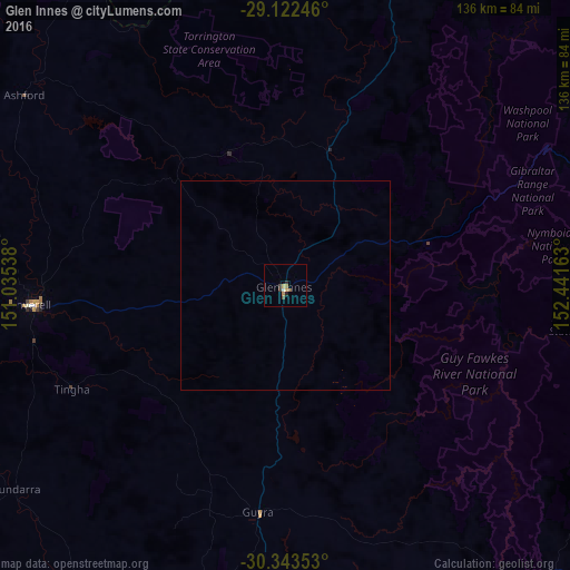
Glen Innes night lights from space
Night Light of Glen Innes (New South Wales) from space (Australia) Src. Average luminocity for 10x10km area is 5.6329% and for 50x50km: 0.2171%.
Analysis of Glen Innes night lights 2016
Square area 10x10 km:
 0.4%
0.4%90-99
0.4%80-89
0%70-79
1.79%60-69
1.39%50-59
0.79%40-49
1.79%30-39
0.6%20-29
1.59%10-19
0%0-9
91.27%Square area 50x50 km:
0.02%90-99
0.02%80-89
0%70-79
0.07%60-69
0.05%50-59
0.03%40-49
0.07%30-39
0.02%20-29
0.06%10-19
0%0-9
99.67%Clear (daylight) street map image can be seen on geolist.org.
Map coordinates:
29° 7' 20.9" South, 151° 2' 7.4" East
29° 44' 5.5" South, 151° 44' 18.6" East
30° 20' 36.7" South, 152° 26' 29.9" East
Some cities around Glen Innes sort by population:
• Coffs Harbour
146.4 km =91 mi,  115°
115°
• Armidale
85.5 km =53.1 mi,  184°
184°
• Inverell
60.7 km =37.7 mi,  265°
265°
• Grafton
115.6 km =71.8 mi,  87°
87°
• South Grafton
114.7 km =71.3 mi, 88°
• Woolgoolga
147 km =91.3 mi,  106°
106°
• Stanthorpe
121.6 km =75.6 mi,  8°
8°
• Boambee East
145.4 km =90.3 mi, 117°
2165291 (p: 6,093)
Sources (retrieved 2019-11-25):
» Earth at Night: Flat Maps 2012, 2016