Goondiwindi night lights from space
Night Light of Goondiwindi (Queensland) from space (Australia) Src. Average luminocity for 10x10km area is 11.3314% and for 50x50km: 0.5392%.
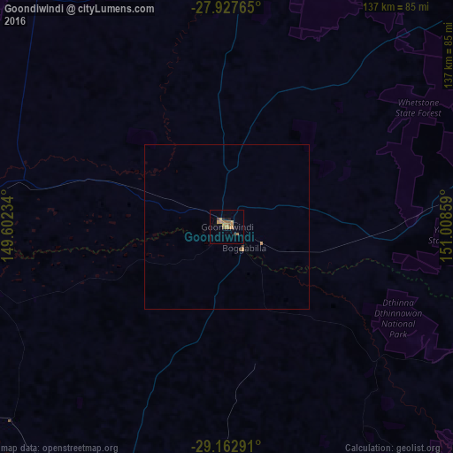
Analysis of Goondiwindi night lights 2016
Square area 10x10 km:
 0%
0%90-99
0%80-89
0.38%70-79
5.68%60-69
3.41%50-59
2.08%40-49
1.33%30-39
0.76%20-29
1.52%10-19
0.76%0-9
84.09%Square area 50x50 km:
0%90-99
0%80-89
0.01%70-79
0.28%60-69
0.13%50-59
0.08%40-49
0.1%30-39
0.04%20-29
0.06%10-19
0.03%0-9
99.25%Clear (daylight) street map image can be seen on geolist.org.
Map coordinates:
27° 55' 39.5" South, 149° 36' 8.4" East
28° 32' 49.5" South, 150° 18' 19.7" East
29° 9' 46.5" South, 151° 0' 30.9" East
Some cities around Goondiwindi sort by population:
• Dalby
178.6 km =111 mi,  31°
31°
• Warwick
173 km =107.5 mi,  77°
77°
• Inverell
157.3 km =97.7 mi,  150°
150°
• Moree
111.4 km =69.2 mi,  203°
203°
• Kearneys Spring
191.6 km =119.1 mi,  56°
56°
• Glenvale
190.1 km =118.1 mi, 55°
• Stanthorpe
159.4 km =99 mi,  94°
94°
• Darling Heights
191.3 km =118.9 mi, 56°
2164972 (p: 6,577)
Sources (retrieved 2019-11-25):
» Earth at Night: Flat Maps 2012, 2016