Gunnedah night lights from space
Night Light of Gunnedah (New South Wales) from space (Australia) Src. Average luminocity for 10x10km area is 5.8462% and for 50x50km: 0.3192%.
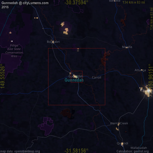
Analysis of Gunnedah night lights 2016
Square area 10x10 km:
 0%
0%90-99
0%80-89
0.18%70-79
2.93%60-69
0.55%50-59
0.73%40-49
1.1%30-39
2.56%20-29
1.47%10-19
0.73%0-9
89.74%Square area 50x50 km:
0%90-99
0%80-89
0.01%70-79
0.15%60-69
0.02%50-59
0.06%40-49
0.04%30-39
0.16%20-29
0.12%10-19
0.03%0-9
99.41%Clear (daylight) street map image can be seen on geolist.org.
Map coordinates:
30° 22' 33.4" South, 149° 33' 18.9" East
30° 58' 50.3" South, 150° 15' 30.2" East
31° 34' 53.6" South, 150° 57' 41.4" East
Some cities around Gunnedah sort by population:
• Tamworth
65.1 km =40.5 mi,  100°
100°
• Narrabri
85.9 km =53.4 mi,  328°
328°
• South Tamworth
64.9 km =40.3 mi, 102°
• Hillvue
63.9 km =39.7 mi, 104°
• Scone
132.3 km =82.2 mi,  154°
154°
• North Tamworth
64.2 km =39.9 mi, 99°
• East Tamworth
65.7 km =40.8 mi, 100°
• West Tamworth
64 km =39.8 mi, 102°
2164206 (p: 9,761)
Sources (retrieved 2019-11-25):
» Earth at Night: Flat Maps 2012, 2016