Morayfield night lights from space
Night Light of Morayfield (Queensland) from space (Australia) Src. Average luminocity for 10x10km area is 46.3826% and for 50x50km: 12.1116%.
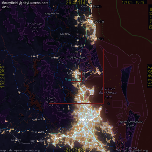
Analysis of Morayfield night lights 2016
Square area 10x10 km:
 4.73%
4.73%90-99
5.3%80-89
5.3%70-79
2.65%60-69
20.64%50-59
6.44%40-49
6.44%30-39
10.23%20-29
14.39%10-19
22.35%0-9
1.52%Square area 50x50 km:
1.27%90-99
1.43%80-89
1.01%70-79
0.77%60-69
4.82%50-59
1.53%40-49
1.79%30-39
2.44%20-29
3.13%10-19
6.7%0-9
75.11%Clear (daylight) street map image can be seen on geolist.org.
Map coordinates:
26° 28' 52.1" South, 152° 14' 45.4" East
27° 6' 31.5" South, 152° 56' 56.7" East
27° 43' 58.4" South, 153° 39' 7.9" East
Some cities around Morayfield sort by population:
• Caboolture
2.7 km =1.7 mi,  4°
4°
• North Lakes
14.7 km =9.1 mi,  151°
151°
• Deception Bay
12.1 km =7.5 mi,  140°
140°
• Narangba
10.6 km =6.6 mi,  174°
174°
• Burpengary
5.5 km =3.4 mi, 171°
• Burpengary East
6.4 km =4 mi,  128°
128°
• Bellmere
6.4 km =4 mi,  294°
294°
• Caboolture South
1.7 km =1.1 mi,  358°
358°
2156934 (p: 21,221)
Sources (retrieved 2019-11-25):
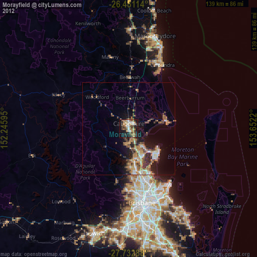
» Earth at Night: Flat Maps 2012, 2016