Burpengary night lights from space
Night Light of Burpengary (Queensland) from space (Australia) Src. Average luminocity for 10x10km area is 40.911% and for 50x50km: 15.6389%.
Analysis of Burpengary night lights 2016
Square area 10x10 km:
 1.89%
1.89%90-99
2.08%80-89
1.89%70-79
0.76%60-69
22.92%50-59
5.68%40-49
8.71%30-39
18.56%20-29
17.05%10-19
16.86%0-9
3.6%Square area 50x50 km:
1.89%90-99
2.13%80-89
1.43%70-79
1.32%60-69
5.66%50-59
1.88%40-49
2.19%30-39
2.92%20-29
3.93%10-19
7.82%0-9
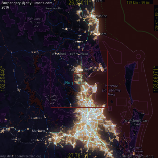
68.83%Clear (daylight) street map image can be seen on geolist.org.
Map coordinates:
26° 31' 48.4" South, 152° 15' 16.1" East
27° 9' 26.9" South, 152° 57' 27.3" East
27° 46' 52.7" South, 153° 39' 38.6" East
Some cities around Burpengary sort by population:
• Caboolture
8.1 km =5 mi,  355°
355°
• North Lakes
9.7 km =6 mi,  139°
139°
• Morayfield
5.5 km =3.4 mi,  351°
351°
• Deception Bay
7.9 km =4.9 mi,  120°
120°
• Narangba
5.1 km =3.2 mi,  178°
178°
• Rothwell
10.9 km =6.8 mi,  125°
125°
• Bellmere
10.5 km =6.5 mi,  320°
320°
• Caboolture South
7.1 km =4.4 mi, 352°
2173099 (p: 13,779)
Sources (retrieved 2019-11-25):
» Earth at Night: Flat Maps 2012, 2016