North Lakes night lights from space
Night Light of North Lakes (Queensland) from space (Australia) Src. Average luminocity for 10x10km area is 62.9015% and for 50x50km: 22.3604%.
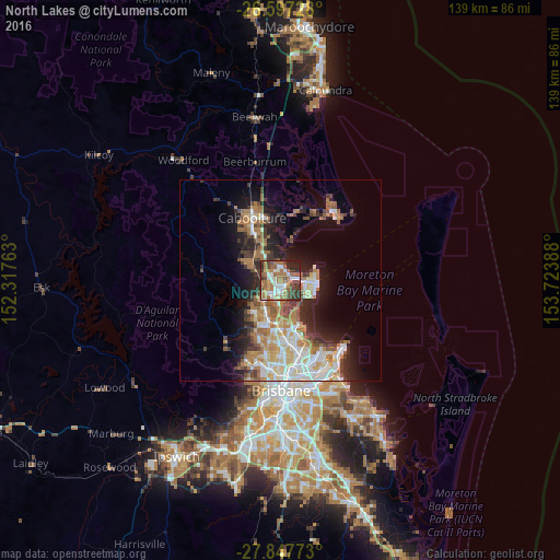
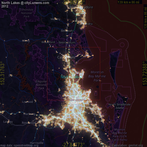
Analysis of North Lakes night lights 2016
Square area 10x10 km:
 10.98%
90-99
11.17%80-89
3.6%70-79
4.73%60-69
30.68%50-59
7.39%40-49
9.66%30-39
10.98%20-29
8.33%10-19
2.46%0-9
0%Square area 50x50 km:
3.95%90-99
4.26%80-89
2.69%70-79
1.88%60-69
6.34%50-59
2.06%40-49
2.54%30-39
3.16%20-29
4.33%10-19
8.88%0-9
59.92%Clear (daylight) street map image can be seen on geolist.org.
Map coordinates:
26° 35' 50.2" South, 152° 19' 3.5" East
27° 13' 27.3" South, 153° 1' 14.7" East
27° 50' 51.8" South, 153° 43' 26" East
Some cities around North Lakes sort by population:
• Kallangur
4.2 km =2.6 mi,  222°
222°
• Deception Bay
3.5 km =2.2 mi,  9°
9°
• Murrumba Downs
4.9 km =3 mi,  191°
191°
• Kippa-Ring
6.2 km =3.9 mi,  91°
91°
• Petrie
6 km =3.7 mi, 218°
• Mango Hill
2.2 km =1.4 mi,  171°
171°
• Rothwell
2.8 km =1.7 mi,  66°
66°
• Griffin
5.6 km =3.5 mi,  160°
160°
6943562 (p: 21,260)
Sources (retrieved 2019-11-25):
» Earth at Night: Flat Maps 2012, 2016