Caboolture South night lights from space
Night Light of Caboolture South (Queensland) from space (Australia) Src. Average luminocity for 10x10km area is 46.0379% and for 50x50km: 11.4206%.
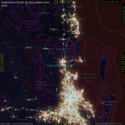
Analysis of Caboolture South night lights 2016
Square area 10x10 km:
 4.73%
4.73%90-99
5.3%80-89
4.55%70-79
3.03%60-69
21.4%50-59
6.44%40-49
7.2%30-39
9.47%20-29
10.23%10-19
25.76%0-9
1.89%Square area 50x50 km:
1.09%90-99
1.31%80-89
0.94%70-79
0.61%60-69
4.67%50-59
1.53%40-49
1.78%30-39
2.35%20-29
2.99%10-19
6.44%0-9
76.31%Clear (daylight) street map image can be seen on geolist.org.
Map coordinates:
26° 27' 58.2" South, 152° 14' 44.2" East
27° 5' 38" South, 152° 56' 55.5" East
27° 43' 5.2" South, 153° 39' 6.7" East
Some cities around Caboolture South sort by population:
• North Lakes
16.2 km =10.1 mi,  153°
153°
• Morayfield
1.7 km =1.1 mi,  178°
178°
• Deception Bay
13.5 km =8.4 mi, 145°
• Narangba
12.2 km =7.6 mi, 175°
• Burpengary
7.1 km =4.4 mi,  172°
172°
• Rothwell
16.5 km =10.3 mi,  144°
144°
• Burpengary East
7.6 km =4.7 mi, 138°
• Bellmere
5.9 km =3.7 mi,  280°
280°
9958151 (p: 5,277)
Sources (retrieved 2019-11-25):
» Earth at Night: Flat Maps 2012, 2016