Mill Park night lights from space
Night Light of Mill Park (Victoria) from space (Australia) Src. Average luminocity for 10x10km area is 69.5034% and for 50x50km: 41.6124%.
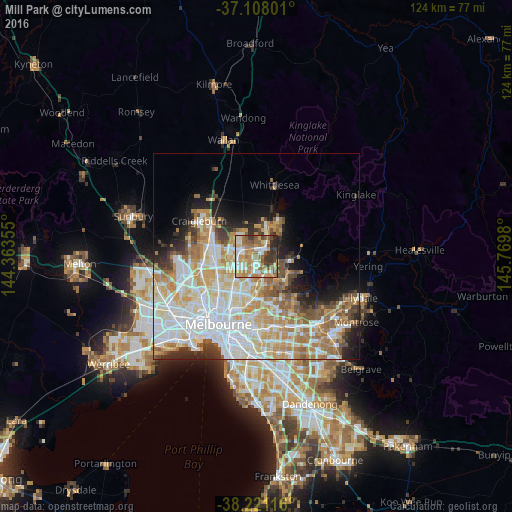
Analysis of Mill Park night lights 2016
Square area 10x10 km:
 10.54%
90-99
17.35%80-89
7.82%70-79
14.8%60-69
18.2%50-59
10.2%40-49
6.46%30-39
9.52%20-29
4.93%10-19
0.17%0-9
0%Square area 50x50 km:
11.54%90-99
10.04%80-89
5.28%70-79
6.84%60-69
5.98%50-59
3.85%40-49
3.39%30-39
2.96%20-29
4.36%10-19
5.78%0-9
39.99%Clear (daylight) street map image can be seen on geolist.org.
Map coordinates:
37° 6' 28.8" South, 144° 21' 48.8" East
37° 40' 0" South, 145° 4' 0" East
38° 13' 16.2" South, 145° 46' 11.3" East
Some cities around Mill Park sort by population:
• Epping
3.5 km =2.2 mi,  302°
302°
• Bundoora
3.6 km =2.2 mi,  189°
189°
• South Morang
3.5 km =2.2 mi,  57°
57°
• Lalor
4.4 km =2.7 mi,  270°
270°
• Thomastown
4.8 km =3 mi,  247°
247°
• Greensborough
5.3 km =3.3 mi,  142°
142°
• Montmorency
7.1 km =4.4 mi, 141°
• Watsonia
5.7 km =3.5 mi,  165°
165°
2157635 (p: 29,474)
Sources (retrieved 2019-11-25):
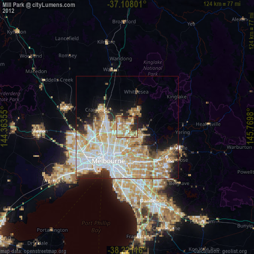
» Earth at Night: Flat Maps 2012, 2016