South Morang night lights from space
Night Light of South Morang (Victoria) from space (Australia) Src. Average luminocity for 10x10km area is 50.0697% and for 50x50km: 37.4362%.
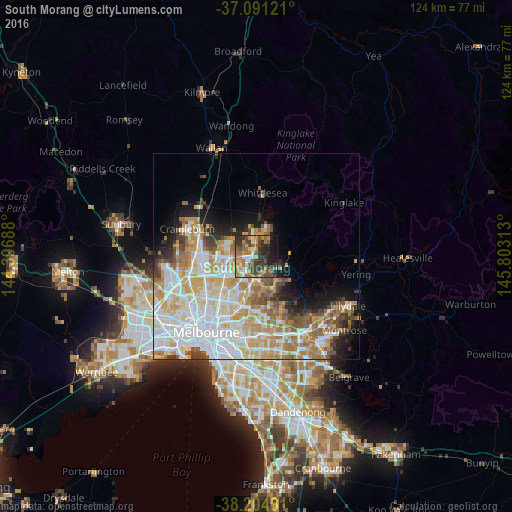
Analysis of South Morang night lights 2016
Square area 10x10 km:
 4.25%
4.25%90-99
6.63%80-89
2.72%70-79
10.2%60-69
12.93%50-59
11.05%40-49
12.24%30-39
13.95%20-29
13.78%10-19
11.73%0-9
0.51%Square area 50x50 km:
10.15%90-99
8.81%80-89
4.75%70-79
6.38%60-69
5.46%50-59
3.61%40-49
3.26%30-39
2.6%20-29
3.55%10-19
5.89%0-9
45.55%Clear (daylight) street map image can be seen on geolist.org.
Map coordinates:
37° 5' 28.4" South, 144° 23' 48.8" East
37° 39' 0" South, 145° 6' 0" East
38° 12' 16.6" South, 145° 48' 11.3" East
Some cities around South Morang sort by population:
• Epping
5.9 km =3.7 mi,  270°
270°
• Mill Park
3.5 km =2.2 mi,  237°
237°
• Bundoora
6.4 km =4 mi,  213°
213°
• Doreen
7.1 km =4.4 mi,  38°
38°
• Greensborough
6.1 km =3.8 mi,  177°
177°
• Mernda
5.5 km =3.4 mi,  355°
355°
• Diamond Creek
4.8 km =3 mi,  112°
112°
• Eltham North
7.1 km =4.4 mi,  141°
141°
2156942 (p: 23,874)
Sources (retrieved 2019-11-25):
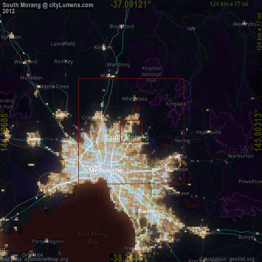
» Earth at Night: Flat Maps 2012, 2016