Thomastown night lights from space
Night Light of Thomastown (Victoria) from space (Australia) Src. Average luminocity for 10x10km area is 84.7551% and for 50x50km: 46.6084%.
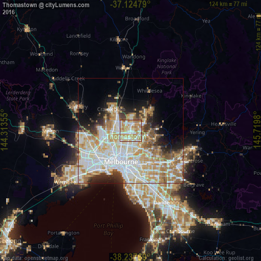
Analysis of Thomastown night lights 2016
Square area 10x10 km:
 20.75%
90-99
23.81%80-89
15.99%70-79
20.58%60-69
17.69%50-59
1.19%40-49
0%30-39
0%20-29
0%10-19
0%0-9
0%Square area 50x50 km:
13.37%90-99
11.53%80-89
5.99%70-79
7.48%60-69
6.61%50-59
4.25%40-49
3.15%30-39
2.85%20-29
4.45%10-19
6.44%0-9
33.88%Clear (daylight) street map image can be seen on geolist.org.
Map coordinates:
37° 7' 29.2" South, 144° 18' 48.8" East
37° 40' 60" South, 145° 1' 0" East
38° 14' 15.7" South, 145° 43' 11.3" East
Some cities around Thomastown sort by population:
• Reservoir
4 km =2.5 mi,  201°
201°
• Epping
4 km =2.5 mi,  21°
21°
• Mill Park
4.8 km =3 mi,  67°
67°
• Bundoora
4.1 km =2.5 mi,  113°
113°
• Lalor
1.9 km =1.2 mi,  0°
0°
• Fawkner
5.8 km =3.6 mi,  229°
229°
• Heidelberg West
6.6 km =4.1 mi,  161°
161°
• Campbellfield
5.5 km =3.4 mi,  293°
293°
2146827 (p: 20,441)
Sources (retrieved 2019-11-25):
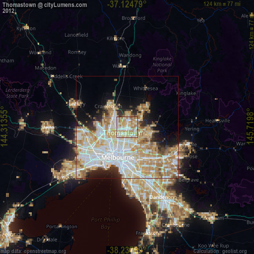
» Earth at Night: Flat Maps 2012, 2016