Seymour night lights from space
Night Light of Seymour (Victoria) from space (Australia) Src. Average luminocity for 10x10km area is 5.0374% and for 50x50km: 0.4349%.
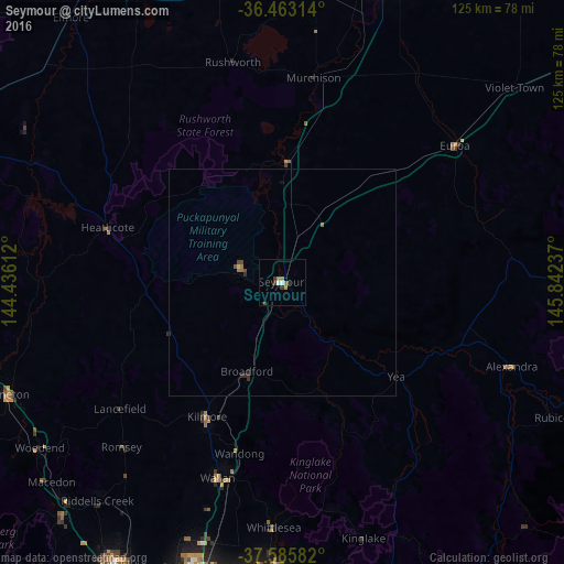
Analysis of Seymour night lights 2016
Square area 10x10 km:
 1.02%
1.02%90-99
0.34%80-89
0%70-79
0.68%60-69
1.7%50-59
0.34%40-49
0.68%30-39
1.87%20-29
0.51%10-19
0%0-9
92.86%Square area 50x50 km:
0.04%90-99
0.01%80-89
0.03%70-79
0.03%60-69
0.18%50-59
0.01%40-49
0.15%30-39
0.14%20-29
0.13%10-19
0.03%0-9
99.24%Clear (daylight) street map image can be seen on geolist.org.
Map coordinates:
36° 27' 47.3" South, 144° 26' 10" East
37° 1' 35.6" South, 145° 8' 21.3" East
37° 35' 9" South, 145° 50' 32.5" East
Some cities around Seymour sort by population:
• Doreen
63.8 km =39.6 mi,  179°
179°
• Mernda
64 km =39.8 mi, 183°
• Wallan
45.6 km =28.3 mi,  198°
198°
• Wollert
62.6 km =38.9 mi,  188°
188°
• Kilmore
34.2 km =21.3 mi,  208°
208°
• Kyneton
65.6 km =40.8 mi,  248°
248°
• Woodend
65.2 km =40.5 mi,  235°
235°
• Whittlesea
54 km =33.6 mi, 181°
2149797 (p: 6,235)
Sources (retrieved 2019-11-25):
» Earth at Night: Flat Maps 2012, 2016