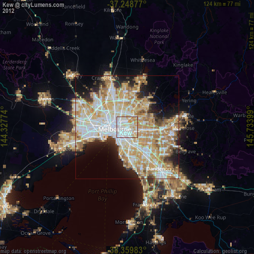
Kew night lights from space
Night Light of Kew (Victoria) from space (Australia) Src. Average luminocity for 10x10km area is 92.7381% and for 50x50km: 55.765%.
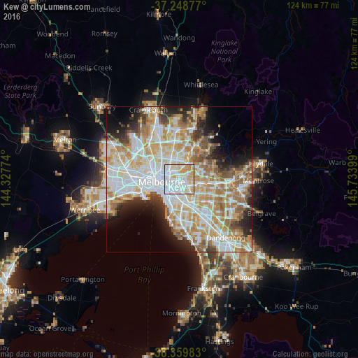
Analysis of Kew night lights 2016
Square area 10x10 km:
 41.33%
90-99
27.89%80-89
14.8%70-79
14.29%60-69
1.7%50-59
0%40-49
0%30-39
0%20-29
0%10-19
0%0-9
0%Square area 50x50 km:
15.19%90-99
14.03%80-89
7.02%70-79
9.75%60-69
8.25%50-59
5.42%40-49
3.78%30-39
3.25%20-29
5.7%10-19
6.62%0-9
20.99%Clear (daylight) street map image can be seen on geolist.org.
Map coordinates:
37° 14' 55.6" South, 144° 19' 39.9" East
37° 48' 23" South, 145° 1' 51.1" East
38° 21' 35.4" South, 145° 44' 2.4" East
Some cities around Kew sort by population:
• Richmond
2.9 km =1.8 mi,  242°
242°
• Hawthorn
1.6 km =1 mi,  163°
163°
• Hawthorn South
3 km =1.9 mi,  170°
170°
• Hawthorn East
2.5 km =1.6 mi,  146°
146°
• Abbotsford
2.8 km =1.7 mi,  284°
284°
• Kew East
2.2 km =1.4 mi,  64°
64°
• Fairfield
3.2 km =2 mi,  338°
338°
• Clifton Hill
3.3 km =2.1 mi,  286°
286°
2161540 (p: 24,491)
Sources (retrieved 2019-11-25):
» Earth at Night: Flat Maps 2012, 2016