Hawthorn night lights from space
Night Light of Hawthorn (Victoria) from space (Australia) Src. Average luminocity for 10x10km area is 93.0935% and for 50x50km: 55.7268%.
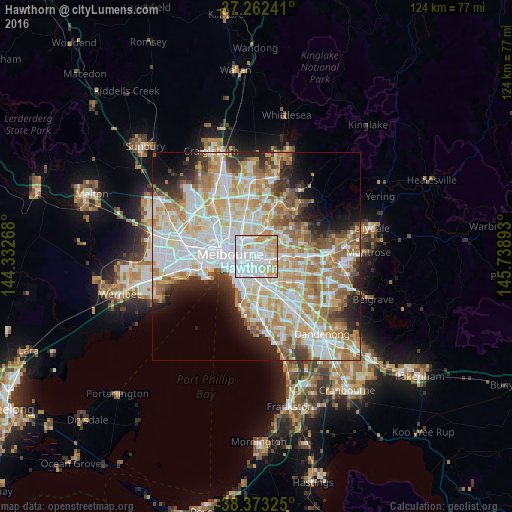
Analysis of Hawthorn night lights 2016
Square area 10x10 km:
 44.05%
90-99
27.04%80-89
12.41%70-79
15.14%60-69
1.36%50-59
0%40-49
0%30-39
0%20-29
0%10-19
0%0-9
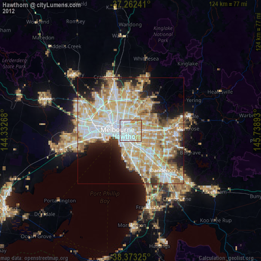
0%Square area 50x50 km:
15.16%90-99
13.94%80-89
7.03%70-79
9.73%60-69
8.36%50-59
5.57%40-49
3.7%30-39
3.43%20-29
5.61%10-19
6.23%0-9
21.24%Clear (daylight) street map image can be seen on geolist.org.
Map coordinates:
37° 15' 44.7" South, 144° 19' 57.6" East
37° 49' 11.7" South, 145° 2' 8.9" East
38° 22' 23.7" South, 145° 44' 20.1" East
Some cities around Hawthorn sort by population:
• Richmond
3 km =1.9 mi,  273°
273°
• Kew
1.6 km =1 mi,  343°
343°
• Camberwell
3.8 km =2.4 mi,  129°
129°
• Glenferrie
1.9 km =1.2 mi,  140°
140°
• Balwyn
4 km =2.5 mi,  72°
72°
• Toorak
3.1 km =1.9 mi,  217°
217°
• Abbotsford
3.8 km =2.4 mi,  305°
305°
• Kew East
2.9 km =1.8 mi,  32°
32°
2163782 (p: 23,051)
Sources (retrieved 2019-11-25):
» Earth at Night: Flat Maps 2012, 2016