Richmond night lights from space
Night Light of Richmond (Victoria) from space (Australia) Src. Average luminocity for 10x10km area is 96.898% and for 50x50km: 56.4261%.
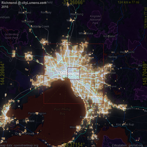
Analysis of Richmond night lights 2016
Square area 10x10 km:
 63.61%
90-99
25.51%80-89
5.95%70-79
3.06%60-69
0.51%50-59
0.51%40-49
0.85%30-39
0%20-29
0%10-19
0%0-9
0%Square area 50x50 km:
15.7%90-99
14.34%80-89
7.15%70-79
9.67%60-69
8.32%50-59
5.37%40-49
3.62%30-39
3.37%20-29
5.09%10-19
6.46%0-9
20.92%Clear (daylight) street map image can be seen on geolist.org.
Map coordinates:
37° 15' 38.4" South, 144° 17' 55.1" East
37° 49' 5.5" South, 145° 0' 6.3" East
38° 22' 17.5" South, 145° 42' 17.6" East
Some cities around Richmond sort by population:
• South Yarra
2.4 km =1.5 mi,  201°
201°
• Kew
2.9 km =1.8 mi,  62°
62°
• Hawthorn
3 km =1.9 mi,  93°
93°
• Toorak
2.8 km =1.7 mi,  156°
156°
• Collingwood
2.1 km =1.3 mi,  326°
326°
• Abbotsford
2 km =1.2 mi,  355°
355°
• East Melbourne
1.2 km =0.7 mi,  277°
277°
• Clifton Hill
2.3 km =1.4 mi,  345°
345°
2151649 (p: 27,878)
Sources (retrieved 2019-11-25):
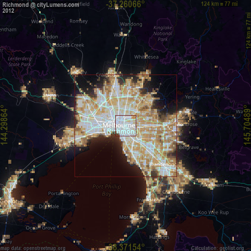
» Earth at Night: Flat Maps 2012, 2016