Fairfield night lights from space
Night Light of Fairfield (Victoria) from space (Australia) Src. Average luminocity for 10x10km area is 93.4694% and for 50x50km: 55.0071%.
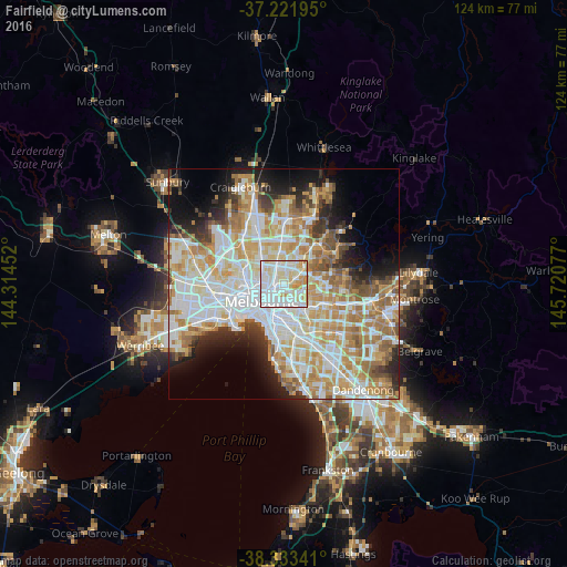
Analysis of Fairfield night lights 2016
Square area 10x10 km:
 39.97%
90-99
31.29%80-89
17.18%70-79
10.03%60-69
1.53%50-59
0%40-49
0%30-39
0%20-29
0%10-19
0%0-9
0%Square area 50x50 km:
14.99%90-99
13.8%80-89
6.99%70-79
9.66%60-69
8.12%50-59
5.15%40-49
3.53%30-39
3.1%20-29
5.41%10-19
7.62%0-9
21.63%Clear (daylight) street map image can be seen on geolist.org.
Map coordinates:
37° 13' 19" South, 144° 18' 52.3" East
37° 46' 47.2" South, 145° 1' 3.5" East
38° 20' 0.3" South, 145° 43' 14.8" East
Some cities around Fairfield sort by population:
• Preston
3.3 km =2.1 mi,  358°
358°
• Kew
3.2 km =2 mi,  158°
158°
• Northcote
2.1 km =1.3 mi,  313°
313°
• Thornbury
2.6 km =1.6 mi,  336°
336°
• Ivanhoe
2.5 km =1.6 mi,  61°
61°
• Fitzroy North
3.5 km =2.2 mi,  253°
253°
• Abbotsford
2.7 km =1.7 mi,  214°
214°
• Clifton Hill
2.8 km =1.7 mi,  224°
224°
9972411 (p: 6,452)
Sources (retrieved 2019-11-25):
» Earth at Night: Flat Maps 2012, 2016