Inverloch night lights from space
Night Light of Inverloch (Victoria) from space (Australia) Src. Average luminocity for 10x10km area is 2.5974% and for 50x50km: 0.5531%.
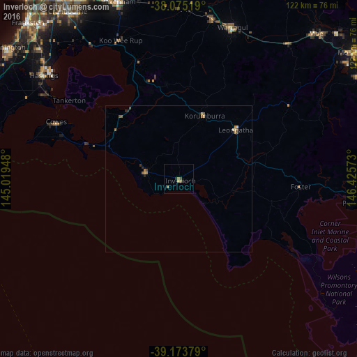
Analysis of Inverloch night lights 2016
Square area 10x10 km:
 0%
0%90-99
0%80-89
0%70-79
0.65%60-69
1.46%50-59
0.49%40-49
0.65%30-39
0.16%20-29
1.14%10-19
0%0-9
95.45%Square area 50x50 km:
0.01%90-99
0.02%80-89
0.06%70-79
0.17%60-69
0.12%50-59
0.14%40-49
0.12%30-39
0.05%20-29
0.16%10-19
0.08%0-9
99.06%Clear (daylight) street map image can be seen on geolist.org.
Map coordinates:
38° 4' 30.7" South, 145° 1' 10.1" East
38° 37' 35.7" South, 145° 43' 21.4" East
39° 10' 25.6" South, 146° 25' 32.6" East
Some cities around Inverloch sort by population:
• Pakenham
65.6 km =40.8 mi,  340°
340°
• Warragul
55.1 km =34.2 mi,  19°
19°
• Drouin
55.8 km =34.7 mi,  12°
12°
• Somerville
66.5 km =41.3 mi,  313°
313°
• Hastings
59.4 km =36.9 mi, 307°
• Clyde North
66.1 km =41.1 mi,  329°
329°
• Phillip Island
45.6 km =28.3 mi,  290°
290°
• Leongatha
25.7 km =16 mi,  49°
49°
2162658 (p: 5,257)
Sources (retrieved 2019-11-25):
» Earth at Night: Flat Maps 2012, 2016