Warragul night lights from space
Night Light of Warragul (Victoria) from space (Australia) Src. Average luminocity for 10x10km area is 10.8401% and for 50x50km: 0.7605%.
Analysis of Warragul night lights 2016
Square area 10x10 km:
 0.51%
0.51%90-99
0.34%80-89
1.87%70-79
0%60-69
2.04%50-59
4.25%40-49
2.55%30-39
2.21%20-29
1.53%10-19
0%0-9
84.69%Square area 50x50 km:
0.02%90-99
0.01%80-89
0.07%70-79
0.03%60-69
0.14%50-59
0.22%40-49
0.35%30-39
0.21%20-29
0.15%10-19
0.05%0-9
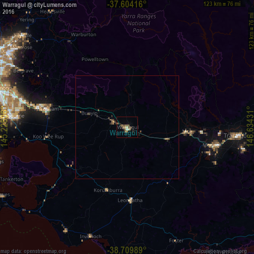
98.75%Clear (daylight) street map image can be seen on geolist.org.
Map coordinates:
37° 36' 15" South, 145° 13' 41" East
38° 9' 32.8" South, 145° 55' 52.2" East
38° 42' 35.6" South, 146° 38' 3.5" East
Some cities around Warragul sort by population:
• Pakenham
41.2 km =25.6 mi,  283°
283°
• Morwell
41.4 km =25.7 mi,  101°
101°
• Drouin
6.8 km =4.2 mi,  291°
291°
• Moe
28.9 km =18 mi,  94°
94°
• Officer
47 km =29.2 mi, 283°
• Newborough
31.6 km =19.6 mi, 92°
• Emerald
49.8 km =30.9 mi,  300°
300°
• Leongatha
35.3 km =21.9 mi,  177°
177°
2144604 (p: 15,284)
Sources (retrieved 2019-11-25):
» Earth at Night: Flat Maps 2012, 2016