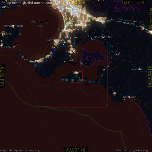
Phillip Island night lights from space
Night Light of Phillip Island (Victoria) from space (Australia) Src. Average luminocity for 10x10km area is 3.1006% and for 50x50km: 1.7699%.
Analysis of Phillip Island night lights 2016
Square area 10x10 km:
 0%
0%90-99
0%80-89
0%70-79
0.65%60-69
1.3%50-59
0%40-49
0%30-39
0.81%20-29
3.25%10-19
1.95%0-9
92.05%Square area 50x50 km:
0.1%90-99
0.13%80-89
0.04%70-79
0.27%60-69
0.33%50-59
0.36%40-49
0.23%30-39
0.32%20-29
0.7%10-19
1.36%0-9
96.17%Clear (daylight) street map image can be seen on geolist.org.
Map coordinates:
37° 55' 51.6" South, 144° 31' 40.4" East
38° 29' 0.6" South, 145° 13' 51.7" East
39° 1' 54.4" South, 145° 56' 2.9" East
Some cities around Phillip Island sort by population:
• Mornington
34 km =21.1 mi,  330°
330°
• Langwarrin
35.7 km =22.2 mi,  350°
350°
• Mount Martha
30.5 km =19 mi,  322°
322°
• Mount Eliza
35.8 km =22.2 mi,  338°
338°
• Rosebud
31.6 km =19.6 mi,  296°
296°
• Somerville
30.2 km =18.8 mi, 349°
• Hastings
20.8 km =12.9 mi, 348°
• Dromana
28.6 km =17.8 mi,  305°
305°
7302624 (p: 7,071)
Sources (retrieved 2019-11-25):
» Earth at Night: Flat Maps 2012, 2016