Armidale night lights from space
Night Light of Armidale (New South Wales) from space (Australia) Src. Average luminocity for 10x10km area is 18.8718% and for 50x50km: 0.8785%.
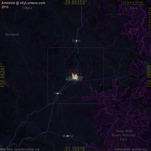
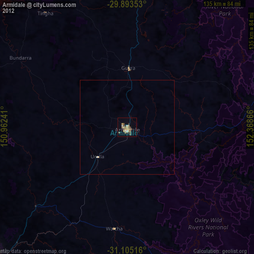
Analysis of Armidale night lights 2016
Square area 10x10 km:
 1.28%
1.28%90-99
0.92%80-89
1.28%70-79
8.24%60-69
3.48%50-59
2.01%40-49
2.01%30-39
3.11%20-29
1.65%10-19
6.41%0-9
69.6%Square area 50x50 km:
0.05%90-99
0.04%80-89
0.08%70-79
0.33%60-69
0.14%50-59
0.08%40-49
0.11%30-39
0.15%20-29
0.11%10-19
0.27%0-9
98.65%Clear (daylight) street map image can be seen on geolist.org.
Map coordinates:
29° 53' 36.7" South, 150° 57' 44.7" East
30° 30' 4.4" South, 151° 39' 55.9" East
31° 6' 18.6" South, 152° 22' 7.2" East
Some cities around Armidale sort by population:
• Tamworth
96.1 km =59.7 mi,  227°
227°
• Inverell
96.8 km =60.1 mi,  326°
326°
• South Tamworth
98.1 km =61 mi, 226°
• Hillvue
100.5 km =62.4 mi, 226°
• Glen Innes
85.5 km =53.1 mi,  4°
4°
• North Tamworth
95.7 km =59.5 mi, 227°
• East Tamworth
95.2 km =59.2 mi, 226°
• West Tamworth
98 km =60.9 mi, 227°
2177671 (p: 23,741)
Sources (retrieved 2019-11-25):
» Earth at Night: Flat Maps 2012, 2016