Stanthorpe night lights from space
Night Light of Stanthorpe (Queensland) from space (Australia) Src. Average luminocity for 10x10km area is 5.1572% and for 50x50km: 0.2196%.
Analysis of Stanthorpe night lights 2016
Square area 10x10 km:
 0.38%
0.38%90-99
0.38%80-89
0%70-79
0%60-69
0.95%50-59
2.84%40-49
1.33%30-39
2.46%20-29
0%10-19
0%0-9
91.67%Square area 50x50 km:
0.01%90-99
0.01%80-89
0%70-79
0%60-69
0.04%50-59
0.11%40-49
0.05%30-39
0.13%20-29
0%10-19
0.03%0-9
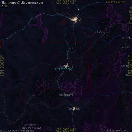
99.61%Clear (daylight) street map image can be seen on geolist.org.
Map coordinates:
28° 2' 7.5" South, 151° 13' 50.7" East
28° 39' 15.3" South, 151° 56' 2" East
29° 16' 10" South, 152° 38' 13.2" East
Some cities around Stanthorpe sort by population:
• Warwick
49.4 km =30.7 mi,  11°
11°
• Casino
110.9 km =68.9 mi,  101°
101°
• Kearneys Spring
116.7 km =72.5 mi,  0°
0°
• Harristown
119.1 km =74 mi,  359°
359°
• Rangeville
119.2 km =74.1 mi, 2°
• Middle Ridge
116.5 km =72.4 mi, 1°
• Centenary Heights
118.7 km =73.8 mi, 1°
• Darling Heights
117.6 km =73.1 mi, 359°
2148507 (p: 5,378)
Sources (retrieved 2019-11-25):
» Earth at Night: Flat Maps 2012, 2016