Glen Waverley night lights from space
Night Light of Glen Waverley (Victoria) from space (Australia) Src. Average luminocity for 10x10km area is 79.7565% and for 50x50km: 48.3527%.
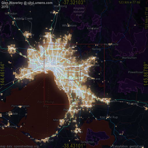
Analysis of Glen Waverley night lights 2016
Square area 10x10 km:
 15.58%
90-99
18.67%80-89
10.39%70-79
23.05%60-69
26.3%50-59
5.52%40-49
0.49%30-39
0%20-29
0%10-19
0%0-9
0%Square area 50x50 km:
11.98%90-99
11.18%80-89
5.98%70-79
8.8%60-69
7.88%50-59
5.9%40-49
3.88%30-39
3.5%20-29
4.62%10-19
7.91%0-9
28.36%Clear (daylight) street map image can be seen on geolist.org.
Map coordinates:
37° 19' 15.7" South, 144° 27' 41.9" East
37° 52' 41.2" South, 145° 9' 53.1" East
38° 25' 51.6" South, 145° 52' 4.4" East
Some cities around Glen Waverley sort by population:
• Mount Waverley
3.1 km =1.9 mi,  272°
272°
• Wheelers Hill
2.9 km =1.8 mi,  146°
146°
• Wantirna South
4.6 km =2.9 mi,  97°
97°
• Burwood
5.1 km =3.2 mi,  308°
308°
• Vermont South
2.8 km =1.7 mi,  34°
34°
• Blackburn South
4.3 km =2.7 mi,  349°
349°
• Burwood East
3.4 km =2.1 mi,  337°
337°
• Oakleigh East
4.9 km =3 mi,  240°
240°
2165171 (p: 40,238)
Sources (retrieved 2019-11-25):
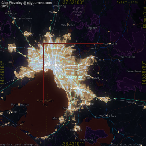
» Earth at Night: Flat Maps 2012, 2016